Almaty, Kazakhstan, 21–23 October 2026
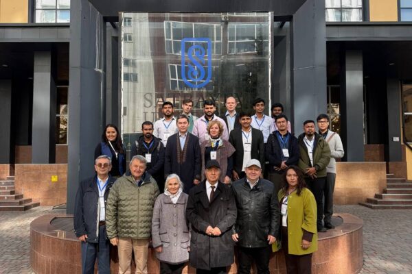
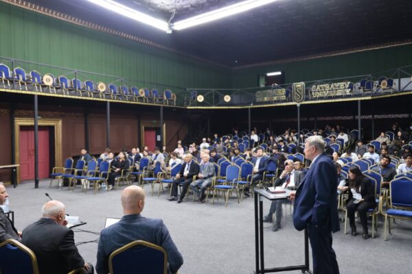
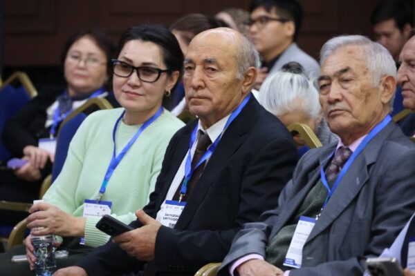
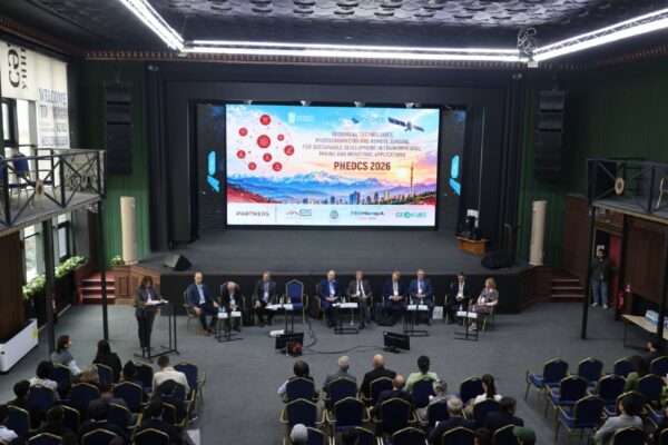
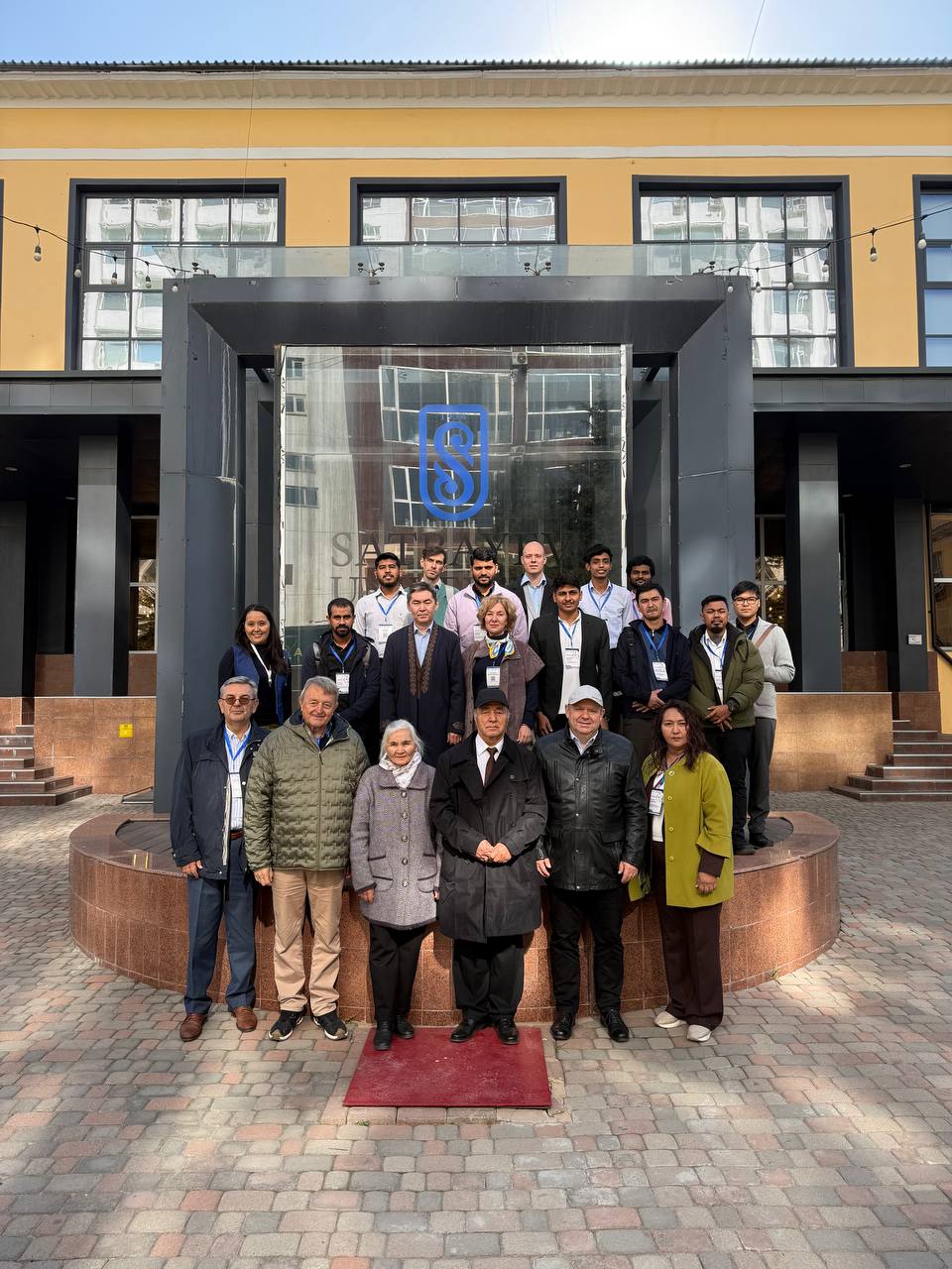
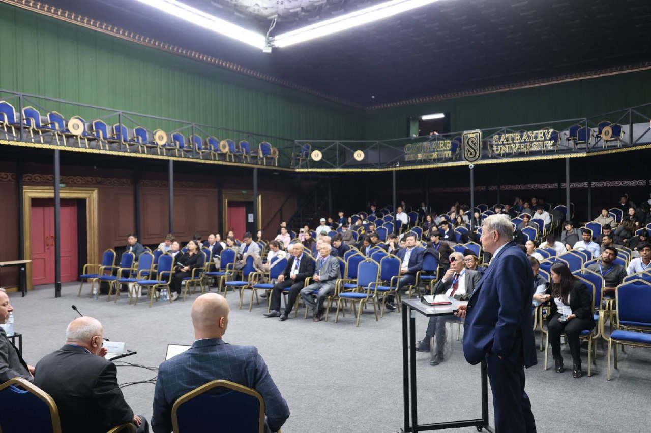
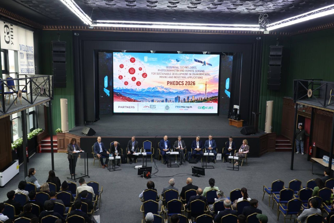
The international scientific conference PHEDCS 2026 took place from 21 to 23 October 2026 at Satbayev University in Almaty, Kazakhstan. The event brought together researchers, university representatives, scientists and industry professionals to discuss recent developments in geospatial technologies, photogrammetry, remote sensing and their applications in environmental monitoring, mining and industrial development.
The conference, entitled Geospatial Technologies, Photogrammetry and Remote Sensing for Sustainable Development in Environmental, Mining and Industrial Applications, was organized through cooperation between PHEDCS, z.ú., Satbayev University and the International Society for Photogrammetry and Remote Sensing (ISPRS), particularly Technical Commission V, Working Group V/6.
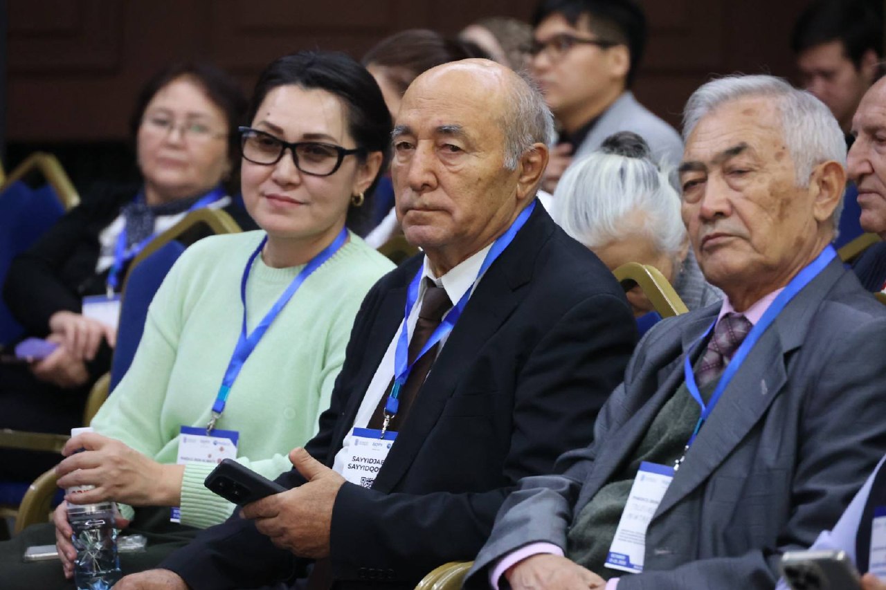
PHEDCS 2026 attracted registrations from an international community representing at least 20 countries. The event was organized in a hybrid format, allowing participants to attend the conference in Almaty or follow the scientific programme remotely. All on-site scientific sessions were livestreamed, while dedicated online sessions provided additional opportunities for researchers unable to travel to Kazakhstan.
International Experts and Keynote Presentations
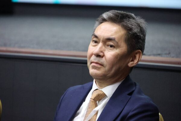
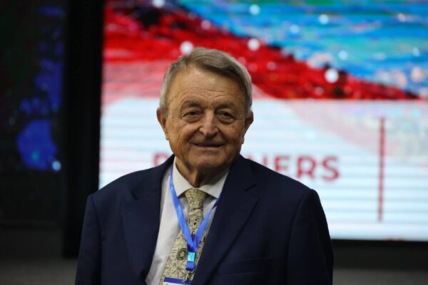
The opening day of the conference featured five keynote presentations addressing important developments and challenges in geospatial science and technology.
Prof. Thomas Luhmann from Germany presented research on high-accuracy close-range photogrammetry, highlighting advances in precise measurement and three-dimensional data acquisition.
Prof. Roman Shults, representing Saudi Arabia, addressed the application of remote sensing and artificial intelligence in environmental monitoring and hazard assessment.
Prof. Milan Konečný from the Czech Republic focused on digital twins and their potential contribution to addressing global challenges.
Prof. Vladimir A. Seredovich and Karel Vach presented the evolution of laser scanning technology, reflecting on technological developments and the growing importance of three-dimensional spatial data.
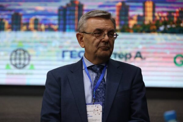
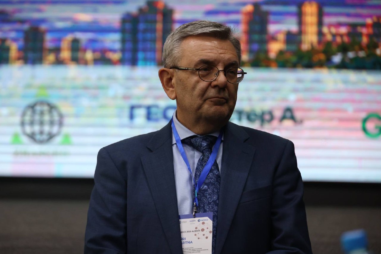
Jüri Pärtna from Estonia discussed digital construction and lifecycle building management, emphasizing the role of digital technologies in the management of buildings and infrastructure.
The keynote programme demonstrated the breadth of contemporary geospatial research, ranging from fundamental measurement technologies to practical applications in construction, environmental protection and infrastructure management.
Scientific Sessions and Research Applications
The scientific programme continued with thematic sessions covering a wide range of research areas, including GeoAI, remote sensing, digital twins, building information modelling, environmental monitoring, geoinformatics, mining applications and precise positioning.
Particular attention was devoted to the practical use of geospatial technologies in monitoring industrial and mining environments, assessing structural deformation, processing spatial data and supporting sustainable development.
The presentations also addressed the increasing integration of artificial intelligence with photogrammetry, satellite observations and three-dimensional modelling.
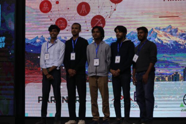
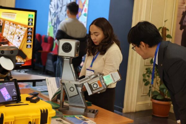
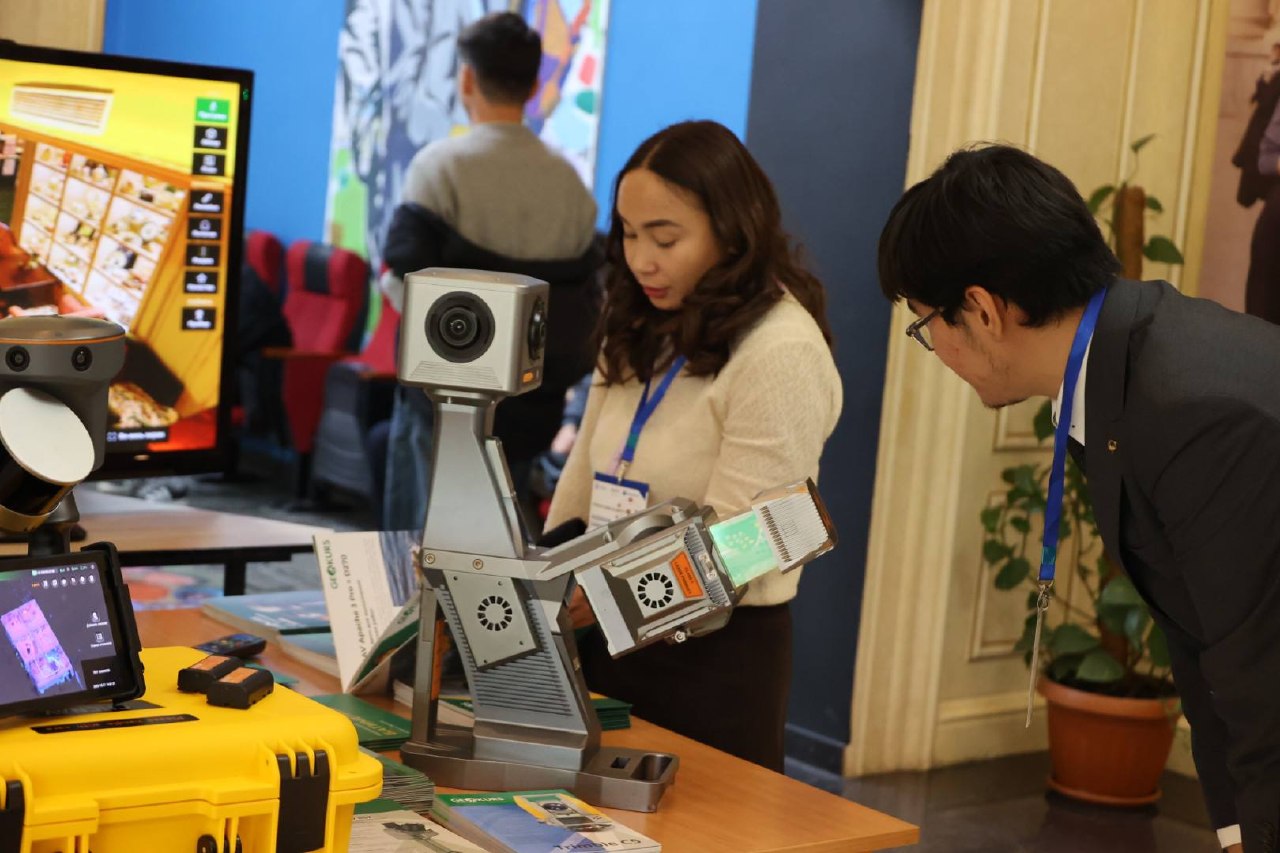
Alongside the scientific presentations, participants had opportunities to become acquainted with modern surveying and geospatial equipment. Technology demonstrations provided a practical complement to the research programme and encouraged discussions between academic researchers, students and industry representatives.
The combination of theoretical research, applied studies and technological demonstrations reflected the interdisciplinary character of the conference.
International Participation and Hybrid Format
One of the important features of PHEDCS 2026 was its international participation.
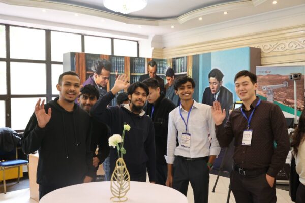
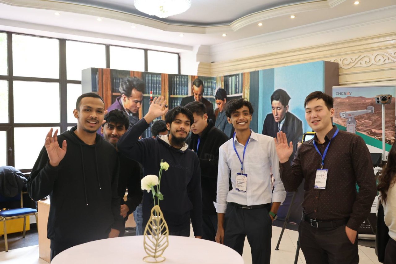
The registration records included researchers and professionals from Kazakhstan, the Czech Republic, Uzbekistan, Germany, Bulgraria, India, China, Malaysia, the Philippines, South Africa and other countries.
The hybrid conference format enabled broader access to the scientific programme. Participants attending in Almaty could exchange ideas directly with colleagues, while international audiences could follow the presentations through live broadcasts.
In addition to the livestreamed on-site sessions, fully online scientific sessions allowed researchers to present their work remotely.
This arrangement supported international scientific exchange across geographical boundaries and provided opportunities for cooperation between institutions in Europe, Central Asia and other regions.
Scientific Publications and Research Cooperation
An important part of PHEDCS 2026 was the preparation of scientific contributions for publication within the ISPRS Archives and Annals publication framework, subject to the applicable editorial and review requirements.
The conference provided authors with an opportunity to present their research to an international audience and contribute to the dissemination of scientific knowledge in photogrammetry, remote sensing and spatial information sciences.
Beyond the formal programme, the event also facilitated discussions on potential research partnerships, joint scientific activities and the application of new technologies in practice.
The choice of Almaty as the host city further supported professional connections between European and Central Asian scientific institutions.
Closing Programme and Acknowledgements
The final day, 23 October, included a scientific session devoted to precise positioning for geosciences, followed by a conference summary delivered by Prof. Roman Shults.
The programme also included activities associated with Satbayev University and a visit to the Institute of Ionosphere.
The PHEDCS 2026 Organizing Committee expresses its sincere appreciation to Satbayev University for hosting the conference and providing organizational and technical support.
The committee also thanks the keynote speakers, scientific committee members, session chairs, authors, participants, industry partners and volunteers whose contributions made the event possible.
PHEDCS 2026 provided an opportunity to present current scientific research, exchange professional experience and develop international contacts in geospatial science and related disciplines.
The cooperation established and strengthened during the conference provides a basis for further scientific exchange and future PHEDCS activities.