
REGISTRATION
Important Information for Authors
• One publication fee is required per accepted paper, regardless of the number of co-authors. If co-authors wish to attend the conference in person, each attending participant must register and pay the participant fee separately.
• Contributions published in the ISPRS Archives/Annals are indexed in SCOPUS, Ei Compendex and DOAJ, and submitted for evaluation to the Web of Science CPCI.
• PHEDCS 2026 ALMATY is organized in cooperation with the international scientific community of ISPRS Technical Commission V – Education and Outreach, including Working Group V/6 “Innovative Technologies in Training Civil Engineers and Architects”.
• ISPRS (International Society for Photogrammetry and Remote Sensing), founded in 1910, is one of the world’s leading international scientific organizations in photogrammetry, remote sensing and geospatial sciences.
• The publication process of PHEDCS 2026 ALMATY follows the ISPRS Publication Policy and international scientific peer-review standards defined in the ISPRS Orange Book.
• Previous PHEDCS and ISPRS WG V/6 events brought together researchers, reviewers and participants from leading universities, research institutes and international organizations across Europe, Asia, the Middle East and North America, including Politecnico di Milano, Istanbul Technical University, Wuhan University, Loughborough University, Czech Technical University in Prague, Charles University, Leibniz Universität Hannover, King Fahd University of Petroleum and Minerals, Nazarbayev University and many others associated with the ISPRS TC V / WG V/6 international scientific community.
• Online participation is available for authors who are unable to attend the conference in person. Online presenters must submit a pre-recorded video presentation of their accepted paper, which will be played during the scheduled conference session, and the presenting author must also be available online during the relevant session to answer questions from the audience. Live online presentations are not planned. Conference registration is required for online participation, and the same registration fee applies as for onsite participation. Online participation does not affect publication: accepted papers submitted to the ISPRS Archives or ISPRS Annals will be published in the respective ISPRS proceedings under the same conditions as papers presented onsite.
• For more details regarding ISPRS publication standards, peer-review procedures and manuscript preparation guidelines, participants are encouraged to review Appendix 4 (ISPRS Publication Policy) and Appendix 5 (Guidelines for Authors Preparing Manuscripts for ISPRS Events) of the ISPRS Orange Book: https://www.isprs.org/
CONFERENCE OBJECTIVE
The conference aims to bring together scientists and entrepreneurs from various fields related to geospatial knowledge. Its primary goal is to explore the most effective ways of integrating both professional and crowdsourced geospatial data into civil, architectural, and environmental engineering.
To address this challenge, several scientific sessions will be organized, along with the ISPRS WG V/6 Workshop. Special attention will be given to close-range photogrammetry, UAS, LiDAR, and open-source geospatial technologies aligned with the main focus areas of the conference.
KEY DIRECTIONS
• Civil Engineering (Territory Management, BIM, Surveying, Facility Management)
• Architecture (Urban Planning, Architectural Surveys, HBIM)
• Mining (Surveying, Environmental Impact)
• Environmental Engineering (Environmental Impact of Construction, Geohazards)
• Fundamental Sciences (Geology, Geography, Geophysics, Archaeology)
CONFERENCE TOPICS
1. Advanced Geospatial Technologies;
2. Applied Photogrammetry and 3D Mapping;
3. Remote Sensing for Environmental Monitoring;
4. Geospatial Technologies in Mining Engineering;
5. Industrial Applications and Infrastructure Monitoring;
6. BIM, Digital Twins and Smart Infrastructure;
7. Land, Property and Spatial Planning
8. Sustainability and Geospatial Support for SDGs
DATES
Full paper deadline (Annals)
20.8.2026
Abstract deadline (Archives)
1.9.2026
Notification to authors
10.9.2026
Early bird reg. deadline
12.9.2026
Final paper submission
15.9.2026
Regular reg. deadline
21.10.2026
On-site registration
21.10.2026
REGISTRATION FEES
KEYNOTE SPEAKERS
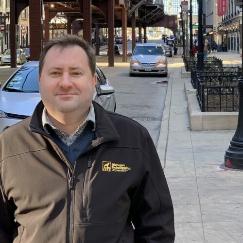
Keynote lecture: Remote Sensing at the Intersection: Environment, Hazards, and the AI Frontier
This keynote synthesizes research at the convergence of Earth Observation, environmental monitoring,
and GeoAI. It spans dryland ecosystems, where multi-temporal Sentinel-2 data discriminate vegetation and
desert dynamics; atmospheric and climate processes, including satellite quantification of methane and
aerosol optical depth; natural hazards, where machine learning and multi-sensor fusion support landslide
monitoring and post-disaster flood assessment; and coastal-marine systems, from mangrove detection to
UAV–satellite fusion for seawater monitoring. Drawing on projects across the Middle East, the talk
highlights how integrating multi-temporal Earth Observation with geospatial data science and AI advances
environmental change detection, risk quantification, and decision support.
• Geospatial educational initiatives and new programs development
• 20+ years of academic experience and conducting geospatial engineering projects
• Five years of educational experience in online teaching (video lectures, animated presentations,
animated lab, online testing)
• GIS, Remote Sensing, Geodesy, and Photogrammetry expert (design, development, customization,
and delivery of industrial projects)
• Dr. of Science Geodesy, Photogrammetry, and Cartography (Ph.D. plus 2012)
• Ph.D. in Geodesy (2006)
• Certified Photogrammetrist (ASPRS, US)
• Extensive hands-on experience with Remote Sensing (Assessment of Environmental Impact of
Construction), GIS (Environmental Modelling and Analysis in GIS, Cartographic Design and Mapping in
GIS), Applied Geodesy (Engineering and Global Geospatial Monitoring Projects, Geodetic Conduct of
Large Engineering Structures Assembling, TS, GNSS, TLS, InSAR), BIM (Engineering Structures
Assembling), Close-range Photogrammetry, UAV (Innovative Photogrammetry and Remote Sensing
Technologies for Structure Inventory and Certification, Monitoring and Cultural Heritage
Preservation), and Aerial and Satellite Imagery (Geo-referencing, Bundle Adjustment, 3D Surface
Reconstruction, Ortho-rectification, Mapping, Scientific Proposals Development)
RESEARCH INTERESTS
Research and application of remote sensing, UAS, close-range photogrammetry, and terrestrial laser
scanning, BIM; GIS and remote sensing for town-planning, spatial management, and assessment of
the construction impact on the environment; GIS and remote sensing educational and outreach
activity; geospatial monitoring of engineering structures; geodetic support of civil engineering and
assembling works
Keynote lecture: The Evolution of Laser Scanning Technology
Laser scanning (LiDAR) is a revolutionary spatial data acquisition technology that has significantly
transformed the approaches to geodesy, architecture, construction, design and facility management, real
estate transactions, environmental management, transportation, mining, oil and gas production, utility
networks, territories, and sectors of the economy based on comprehensive and reliable data.
Assessment of the technology evolution for the development of modern engineering solutions and analysis
of the current state and advanced trends of laser scanning technology are considered. An overview of
historical materials is given along with basic technical specifications, practical applications, and current
technology trends. There is a variety scanning diversity and a wide range of its applications in various
industries, as well as the integration with BIM technologies, and advanced use of artificial intelligence in
data processing.
The main problems of laser scanning and a wide range of its applications in the real life and in such fields
as data processing automation and training of specialists, etc. are discussed.
Nowadays, laser scanning has become a key tool for spatial data acquisition and their use in modern world.
The laser scanning technology continues to be evolved, shifting the focus from simple measurement to
generation of digital facility models and their digital twins.
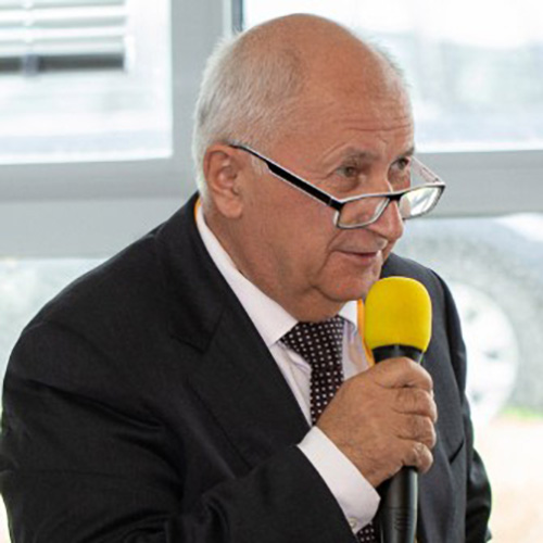
Prof. Vladimir Seredovich, Ph.D. in Applied Geodesy. More than 40 years of educational
experience, scientific and research works, and implementation of new education specialties
such as mine surveying, information systems, cadastre, metrology and new scientific
disciplines: GLONASS, geodynamic polygons, laser scanning, 3D modeling, and
metrological supervision. He founded a new scientific school on laser scanning at the
Siberian State University of Geosystems and Technology in Novosibirsk.
He was a chair of ISPRS WG V/7: Innovative Technologies in Training Civil Engineer and
Architects and main trends of his interest were:
• Innovative geospatial technologies in civil, town planning and architecture
• DEM for construction design
• Building information modeling (BIM) and 3D city models
• Environmental impact assessment
• Geospatial technology for smart city design and planning
• Geospatial technology for structure inventory and certification.
As a scientific supervisor, he was engaged in the implementation of innovative projects in
oil, gas, and mining companies, supervised the deformation monitoring at the Ignalina NPP,
etc.
Since 2016 he has been actively engaged in the following R&D: geospatial solutions for
construction, implementation of BIM and laser scanning technologies, digitalization in the
construction industry, use of UAVs for problem solving in architecture, GIS, ecology, etc. He
is busy at the Regional Self-Regulating Organization of Construction Association of the
Novosibirsk Region (SRO ASONO) with the implementation of digital transformation
technologies in the construction industry, practical implementation of laser scanning
technology at all stages of the object life-cycle.
Keynote lecture: Digital Twin: Potential for Solving Global Problems in Managing Large Territories.
The work deals with the importance of modern cartography and digital twins in the management of large
territories at the level of cities, regions and states. It focuses on the use of geographic information systems
(GIS), information modeling, remote sensing of the Earth and digital spatial data models to solve global
environmental and infrastructure problems. The aim is to present the principle of the functioning of the
digital twin and analyze its benefits in landscape monitoring, transport infrastructure planning, natural risk
management and support for public administration decision-making processes. The work also includes
examples of the use of this technology in large states with a large territory, where digital twins contribute to
more effective management of natural resources, environmental protection and sustainable development.
The work shows that the connection of modern, progressive cartography with digital technologies, in
connection with the new concept of Digital Earth, represents an important tool for solving current global
challenges.
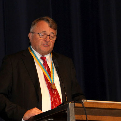
Prof. Milan Konečný is a distinguished Czech cartographer and geoinformatics expert affiliated with the Department of Geography at Masaryk University in Brno. His academic work focuses on digital cartography, geographic information systems, spatial data infrastructures and geospatial support for decision-making.
He served as President of the International Cartographic Association from 2003 to 2007 and has played an important role in developing international cooperation in cartography and geographic information science. In recognition of his long-standing contribution to the discipline, he was awarded the Honorary Fellowship of the International Cartographic Association.
Prof. Konečný has led and participated in numerous international research and educational initiatives addressing Digital Earth, dynamic geovisualization, early-warning systems, crisis management and the application of geospatial information to sustainable development.
AREAS OF EXPERTISE
Digital cartography; geographic information systems; spatial data infrastructures; Digital Earth; dynamic geovisualization; early warning and crisis management; spatial decision support; land-use management and international geospatial cooperation.

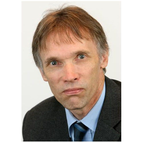
Keynote lecture: High-Accuracy Close-Range Photogrammetry - From Requirements to Systems and Solutions
Accuracy, reliability, automation and validation are among the most important issues in close-range
photogrammetry when it is applied to industrial, medical or other critical applications. After an introduction
to various accuracy aspects and a historical review of important developments, the keynote will focus on
fundamentals on photogrammetric accuracy, quality parameters and validation standards. Special
emphasis is given to camera calibration as one of the key impacts to high accuracy. Subsequently, some
examples of high-performance systems and applications are presented. Finally trends in industry are
discussed, follows by some recommendations about educational needs in higher education.
Prof. Thomas Luhmann is Professor Emeritus of Photogrammetry at Jade University of Applied Sciences in Oldenburg, Germany, and an internationally recognized expert in close-range photogrammetry, laser scanning and optical 3D metrology.
He served as Director of the Institute for Applied Photogrammetry and Geoinformatics from 1996 to 2022. Before entering academia, he worked as a project manager and Head of Photogrammetry Research and Development at Kern/Leica in Switzerland.
Prof. Luhmann is the principal author of the internationally established textbook Close-Range Photogrammetry and 3D Imaging. His academic and professional work combines fundamental research, technological development, practical applications and education in modern photogrammetry and 3D measurement.
AREAS OF EXPERTISE
Close-range photogrammetry; terrestrial laser scanning; UAV-based data acquisition; optical 3D metrology; camera calibration; point-cloud processing; 3D vision and spatial data modelling.
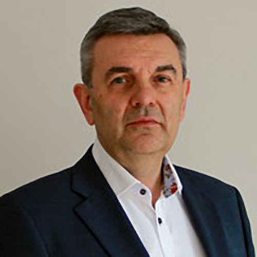
Jüri Pärtna is an experienced Estonian geodesy professional and business development expert specializing in surveying, photogrammetry, 3D laser scanning, and geospatial technologies.
He graduated from the Moscow State University of Geodesy and Cartography and the Estonian Business School. Throughout his career, he has founded and managed several engineering and technology companies, including Exact Geomark, Archaeovision, and DataCap.
He currently serves as Business Development Manager at REIB Engineering and is actively involved in the Estonian Association of Surveyors. His professional interests focus on innovative geospatial technologies and their practical applications in engineering, infrastructure, and cultural heritage documentation.
Presentation Title: Digital Construction in Estonia – From Geospatial Data to Lifecycle Building Management
Abstract: The presentation will introduce Estonia’s experience in the digitalisation of the construction sector from the perspective of the surveying profession and its involvement in the development of the country’s digital infrastructure. Particular attention will be paid to the role of the professional association of surveyors, of which the speaker serves as President.
As a coastal country, Estonia faces specific challenges related to transport infrastructure development, land management, the modernisation of its existing building stock, and energy-efficient renovation. A significant example is the Rail Baltica project, which integrates BIM and GIS technologies in the design, construction, and subsequent management of infrastructure.
The central theme of the presentation is the new organisational framework for the digitalisation of building permit procedures, including electronic permitting and the integration of selected BIM information into a building register supporting the entire lifecycle of buildings. Attention will also be given to the organisation of the real estate cadastre, technical and geospatial mapping, 3D modelling of the built environment, and interoperability between public administration information systems.
The presentation will focus on practical experience, achievements, and remaining challenges, particularly data ownership and responsibility, data updating, accuracy, standardisation, and the effective use of information in building and asset management.
The aim is to share practical experience and stimulate discussion on the modern digitalisation of the construction sector, the integration of surveying, BIM and GIS, and the efficient management of information throughout the lifecycle of the built environment.
SOCIAL EVENTS
Road trip to Kolsay Lakes + Charyn Canyon
Price: 30,000 KZT (55 EUR, transport + lunch included)
Gala Dinner at Kok-Tobe Hill Location: Abay Restaurant
Price: 50,000 KZT (90 EUR, + transport included)
ABOUT ALMATY
Almaty is a city where urban life meets the mountains.
Set against the dramatic backdrop of the Trans-Ili Alatau range, it offers a unique blend of modern architecture, green boulevards, and easy access to nature.
ACCOMODATION
close to Satbayev University
ACCOMODATION
further from the venue
PARTNERS





CONTACT US
Tel.: +420 776 592 329
Karel Vach
Email: info@phedcs.com