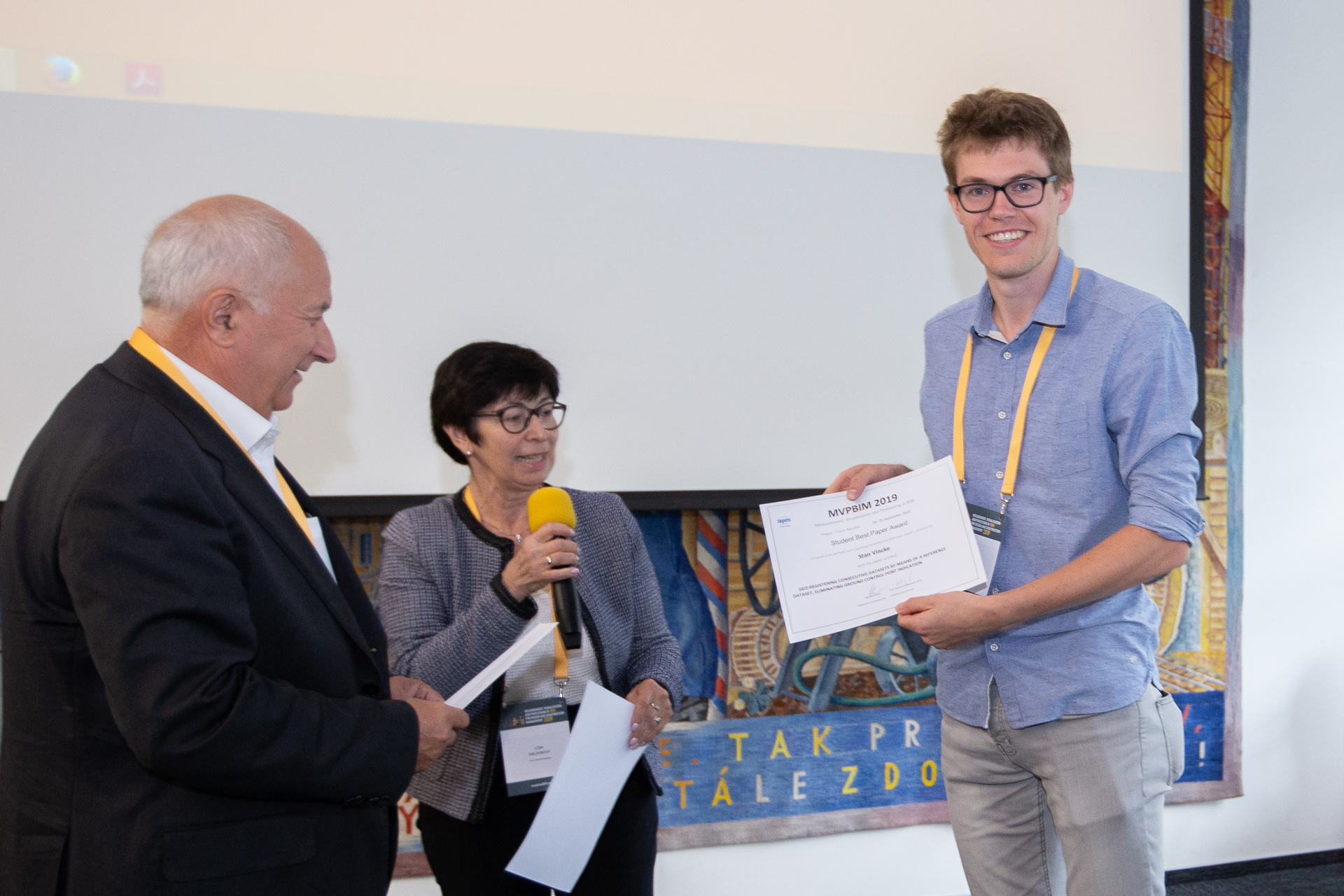
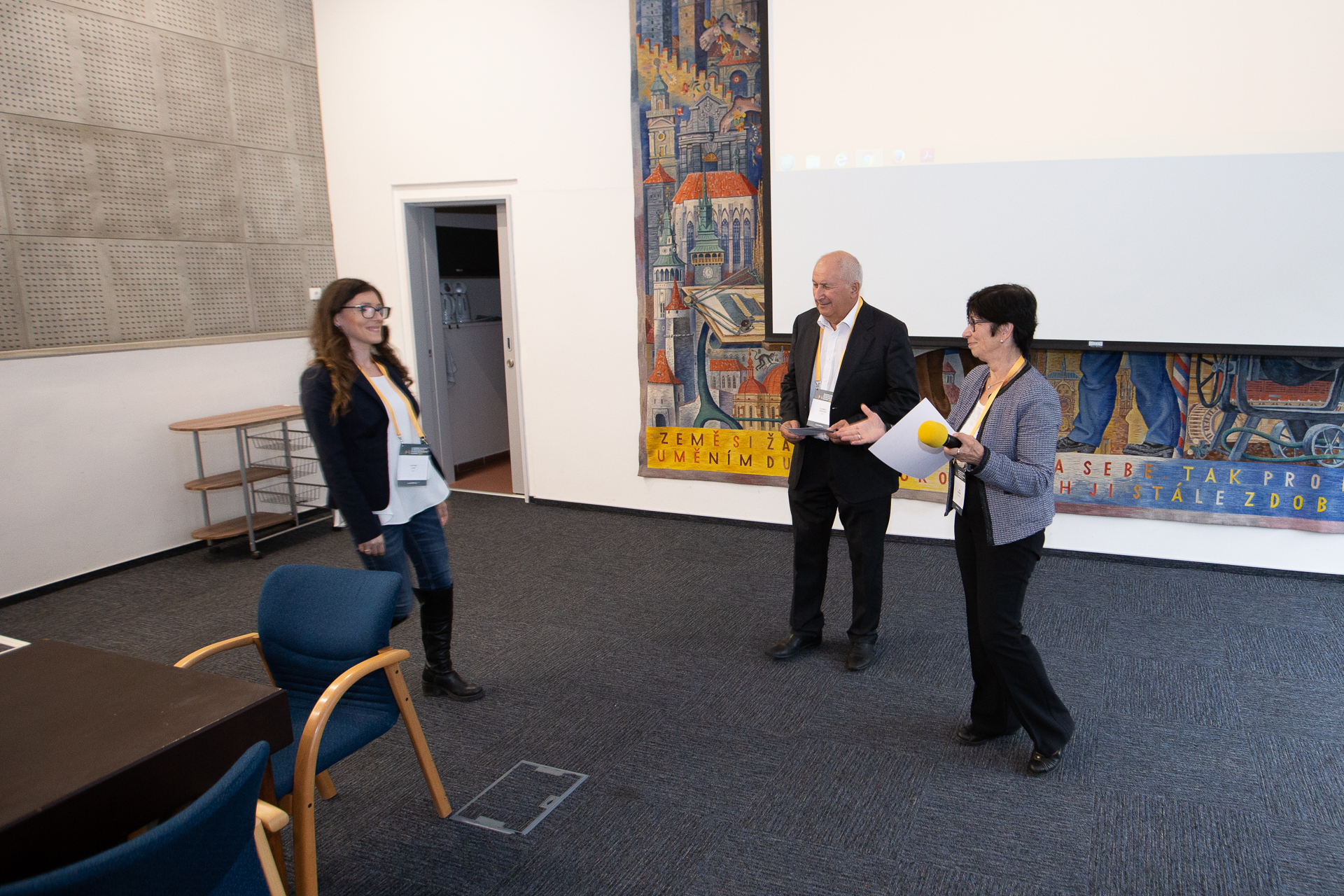
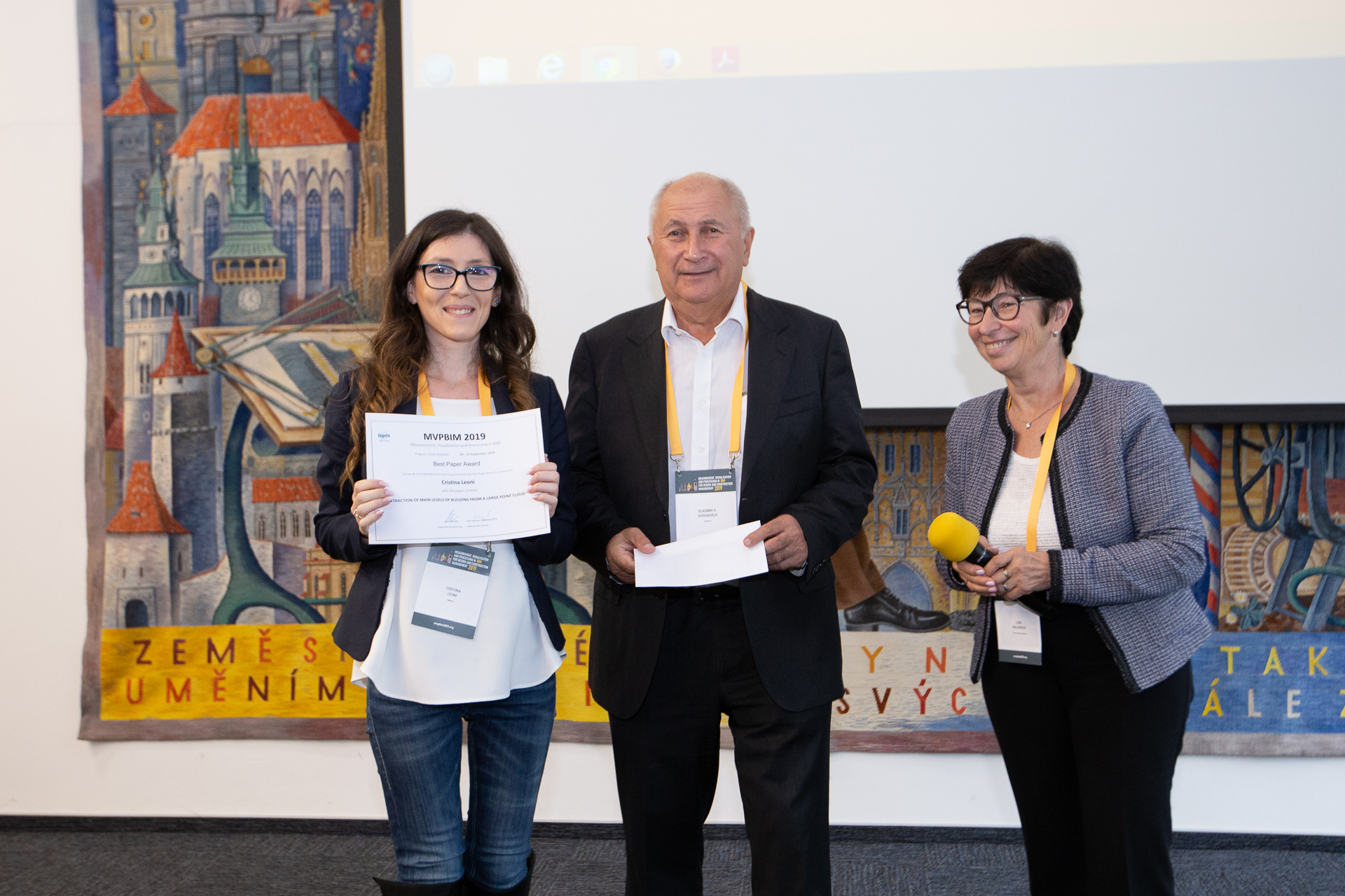
Report about the conference MVPBIM2019, Prague
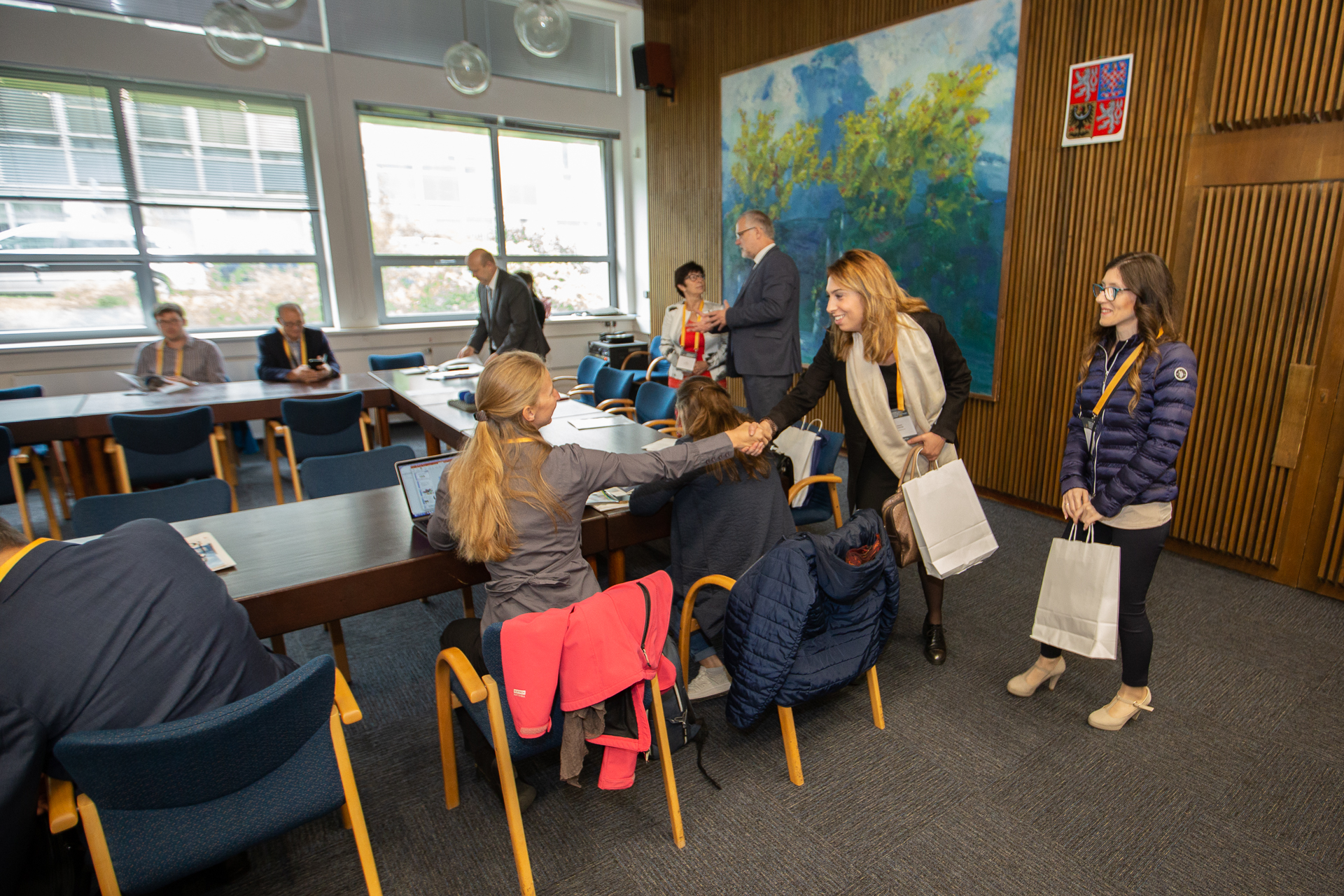
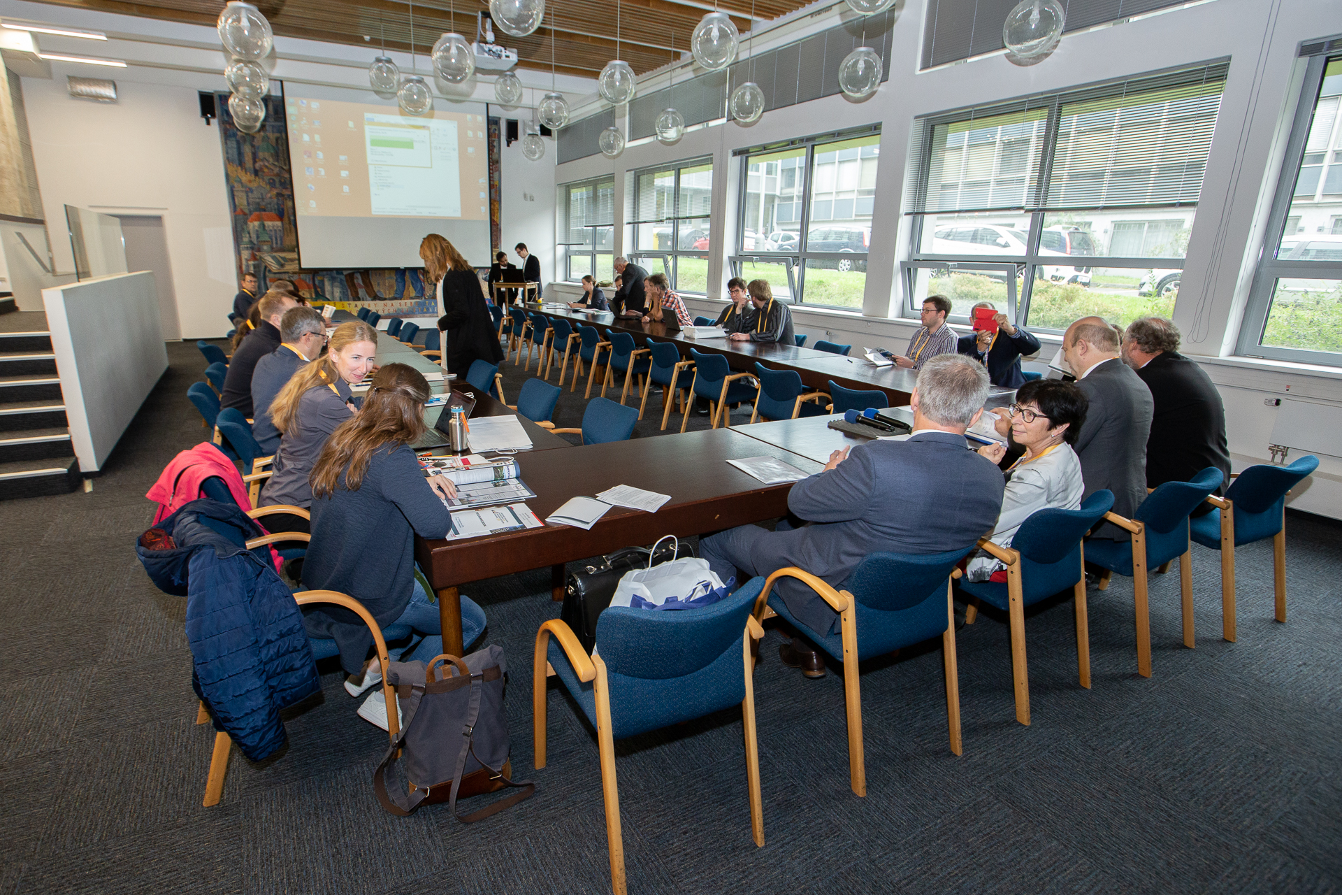
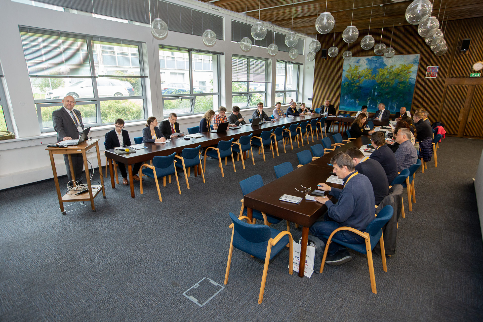
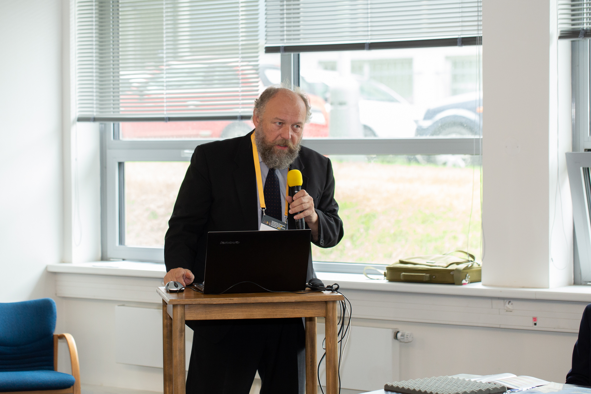
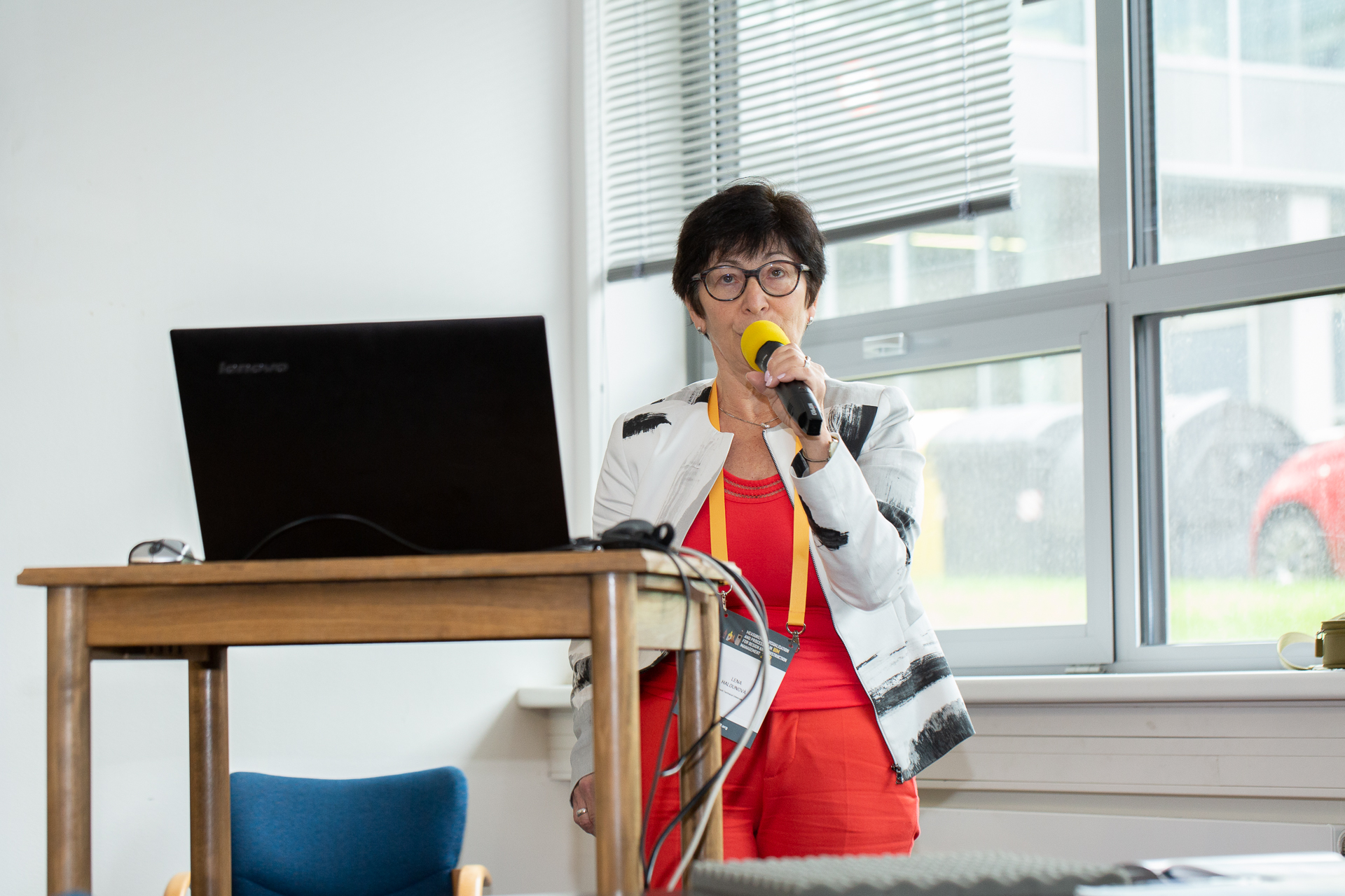
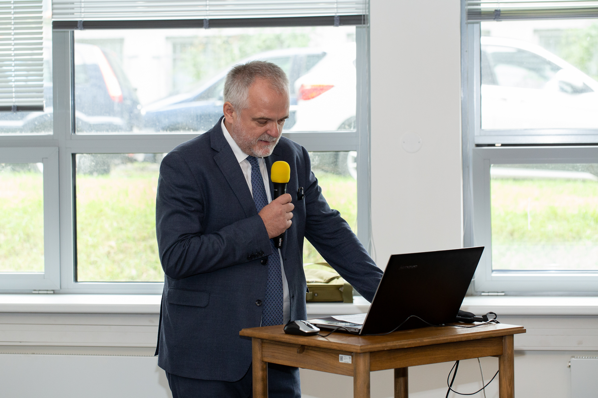
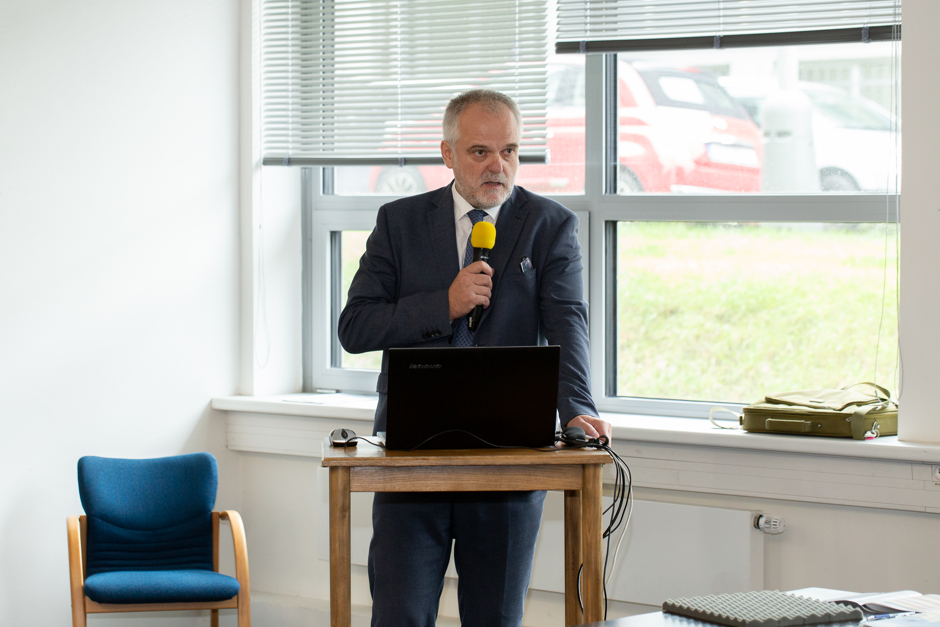
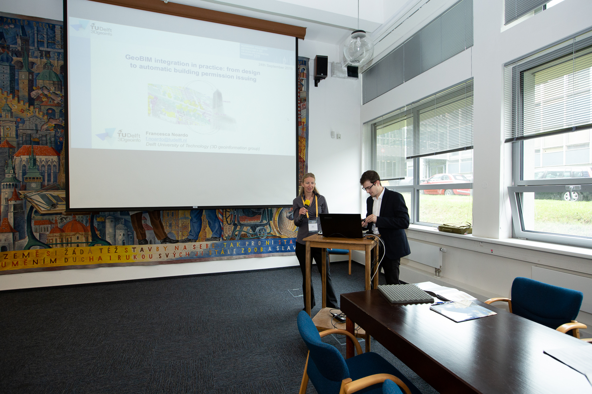
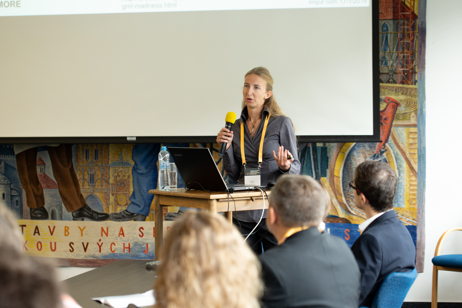
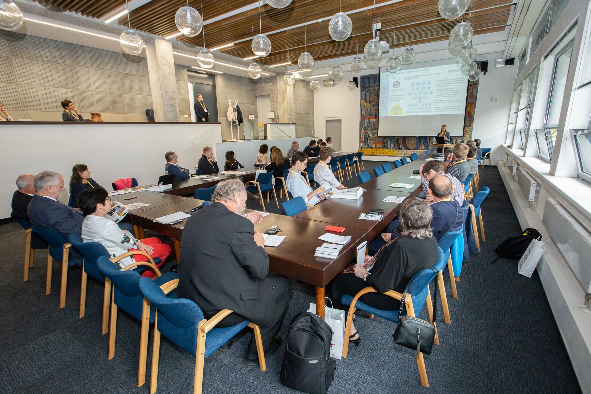
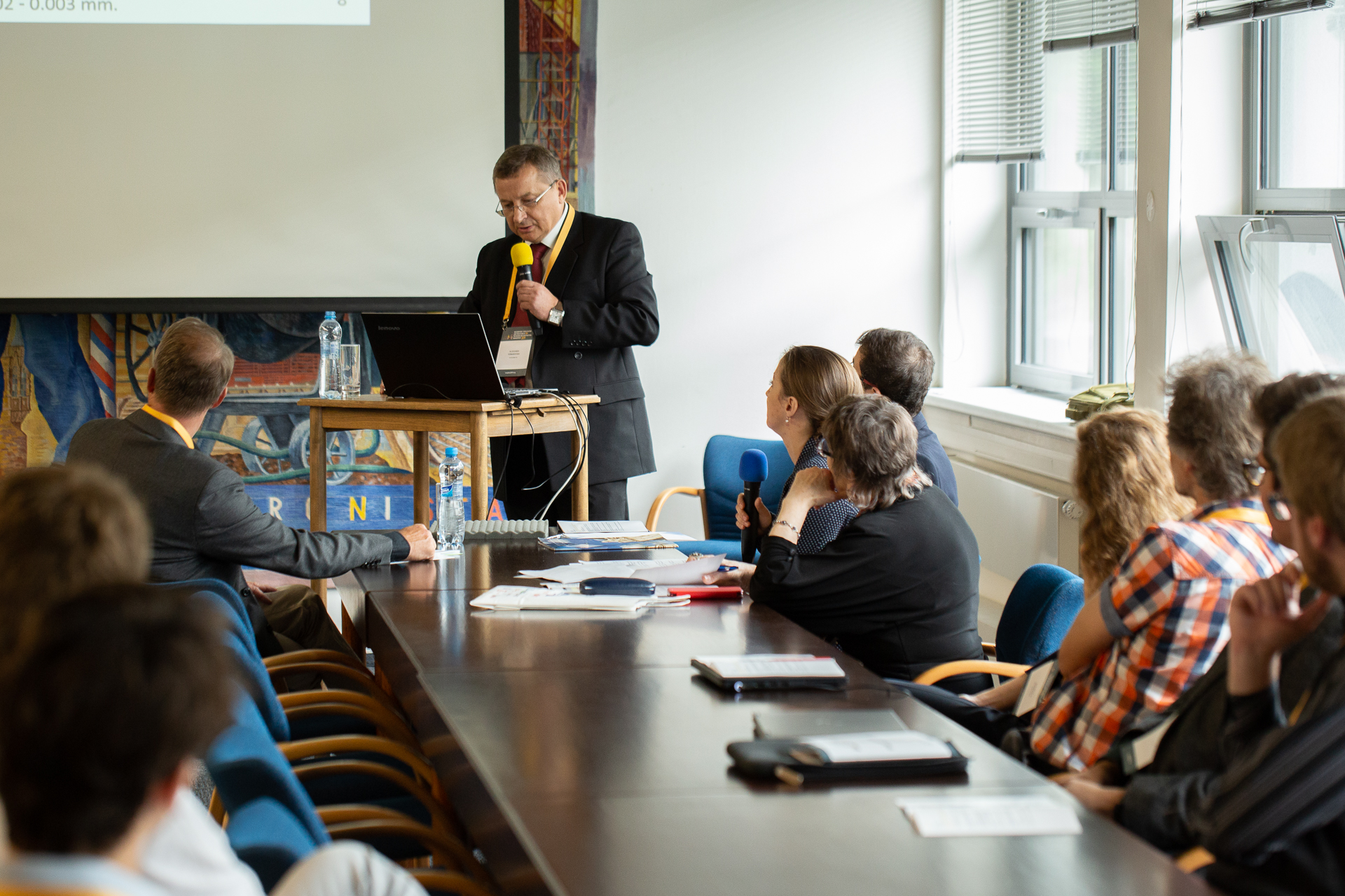
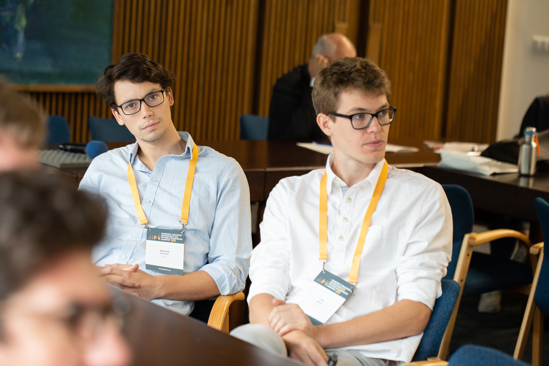
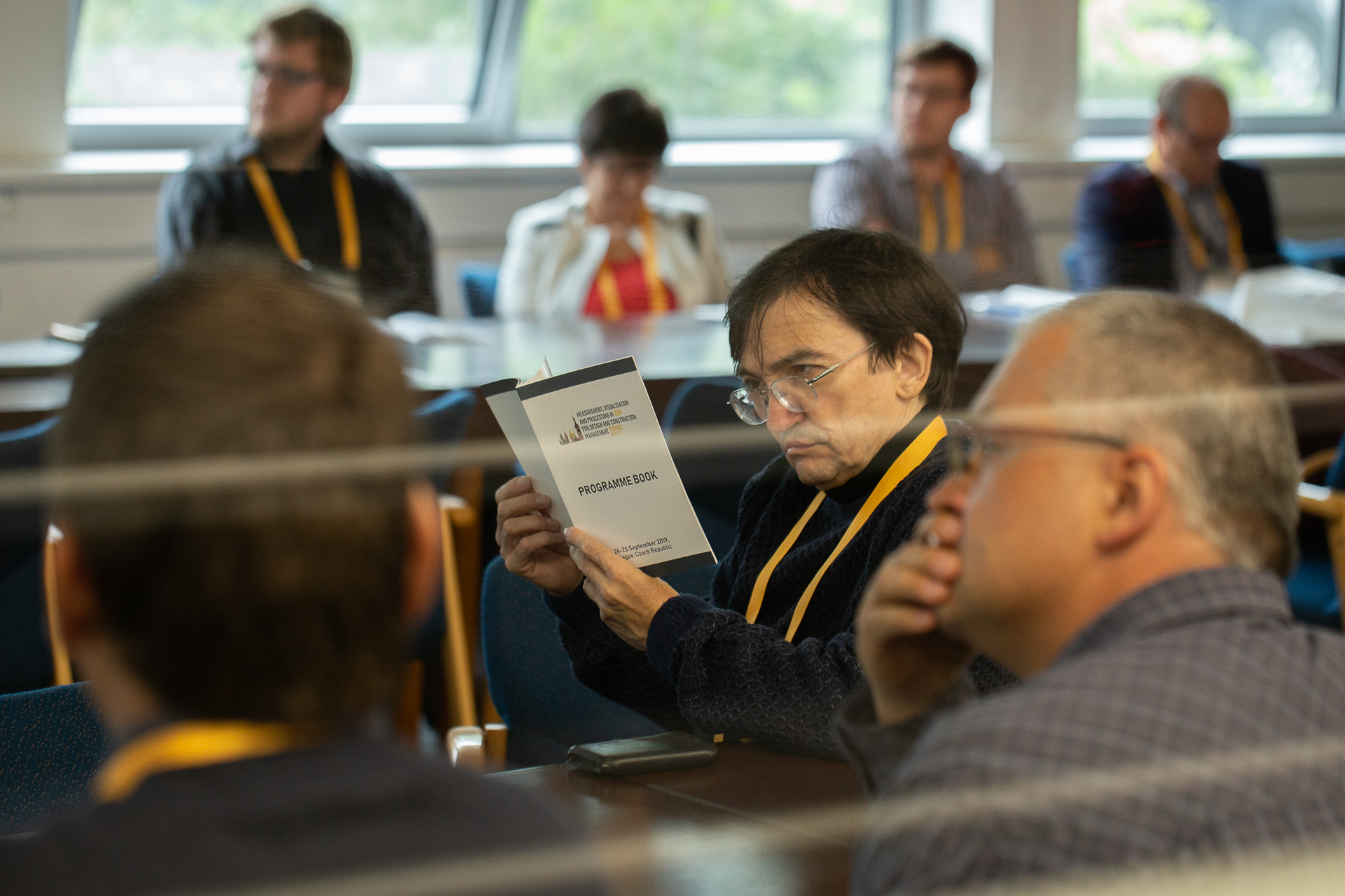
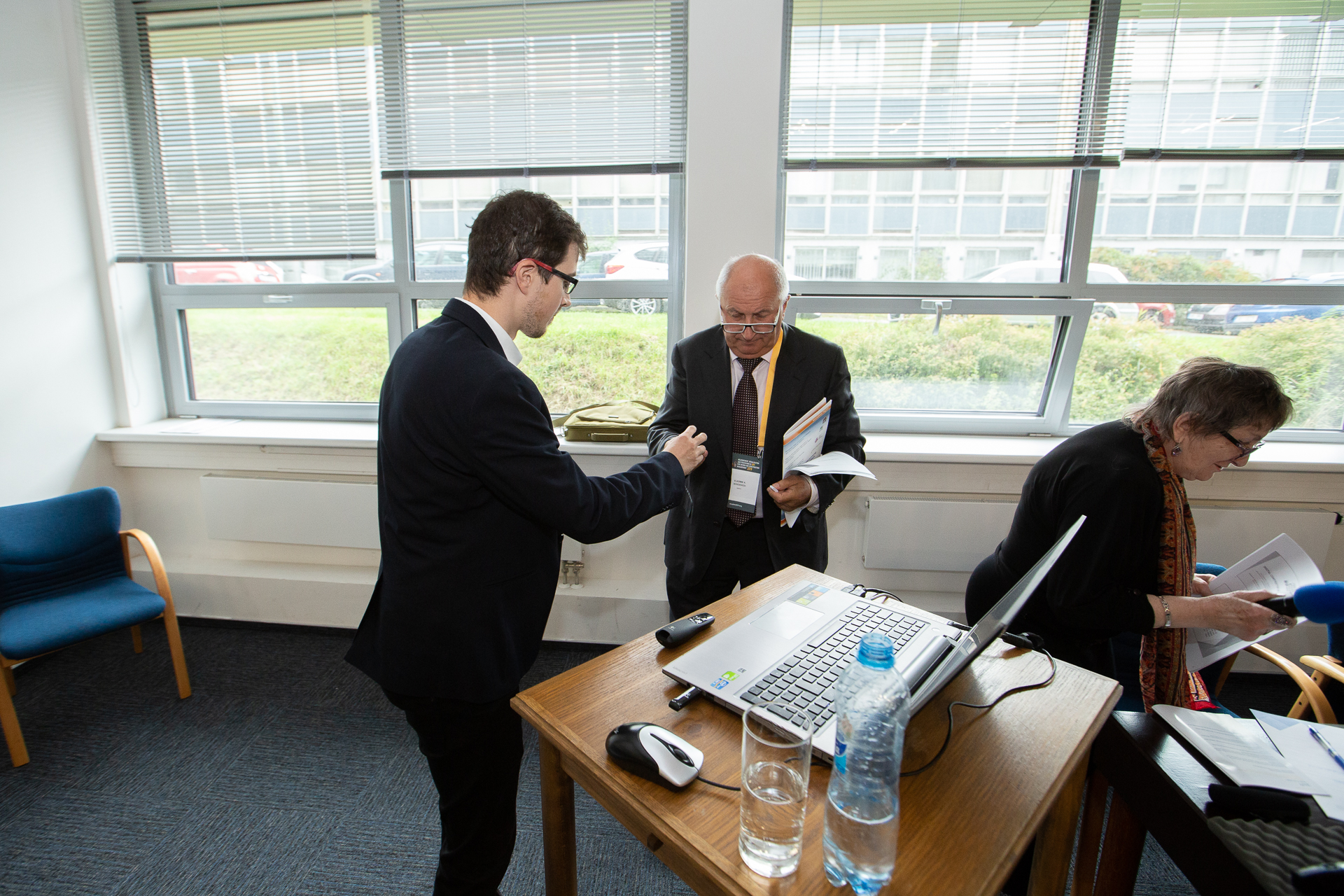
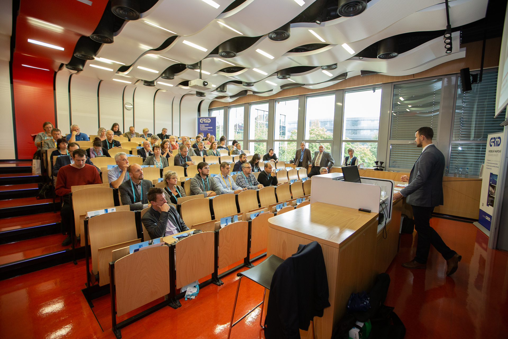
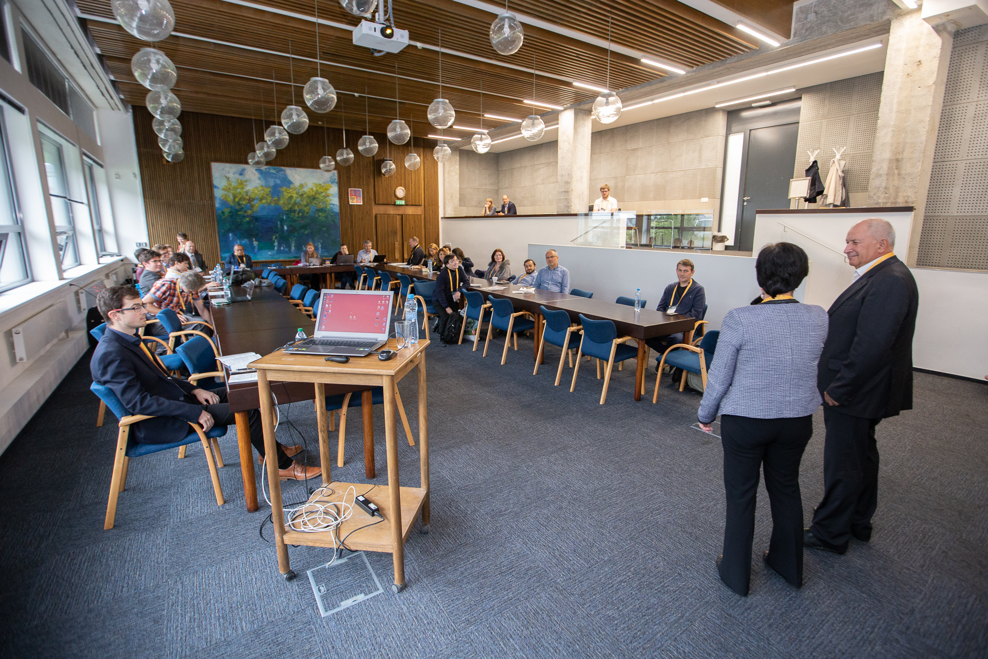
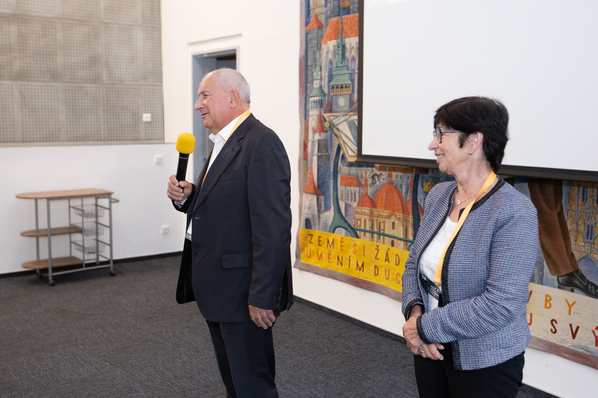
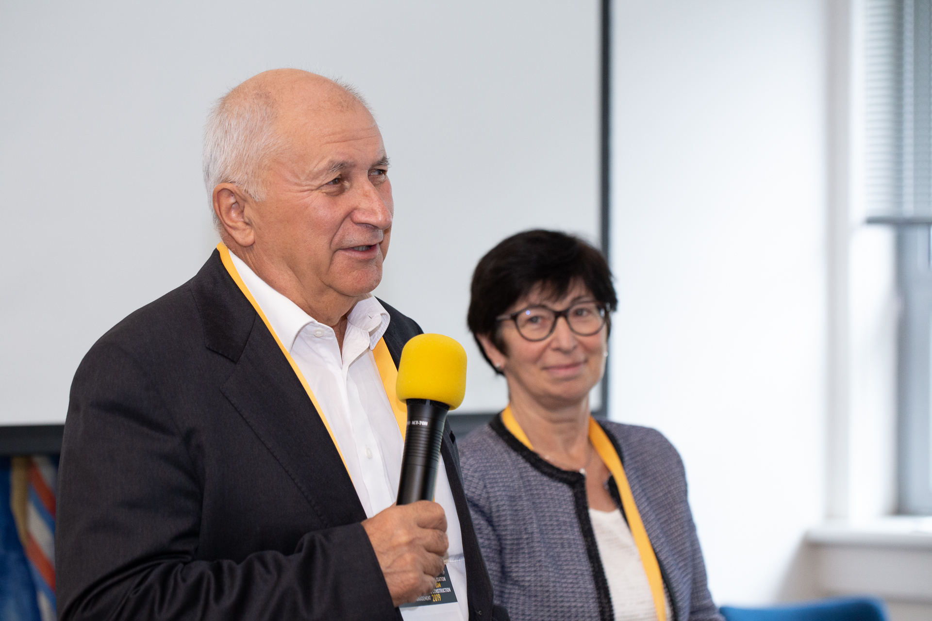
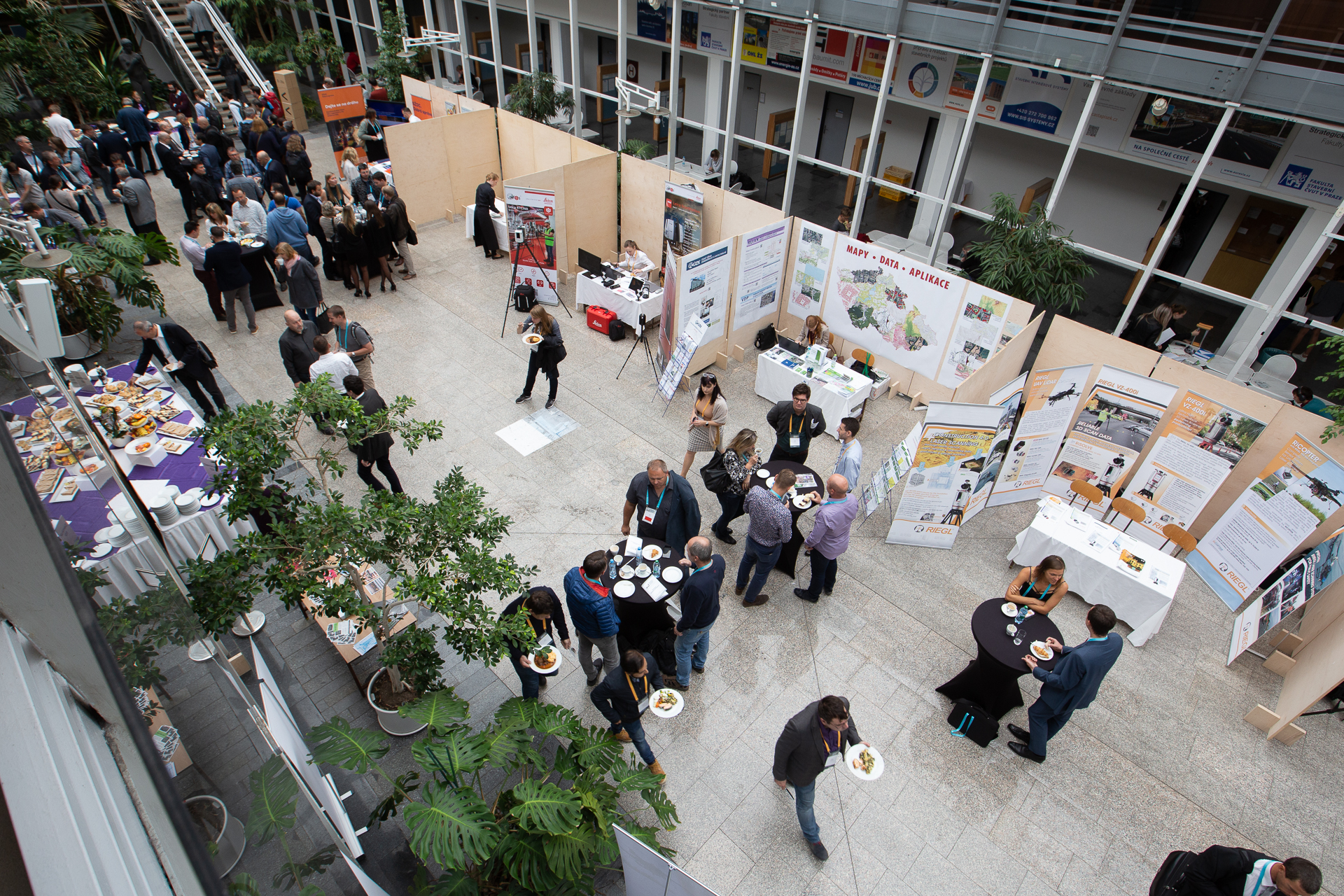
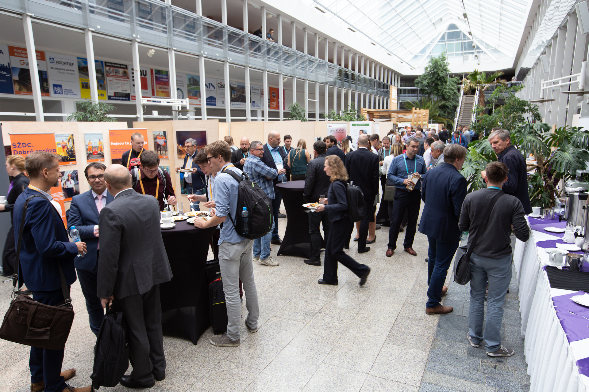
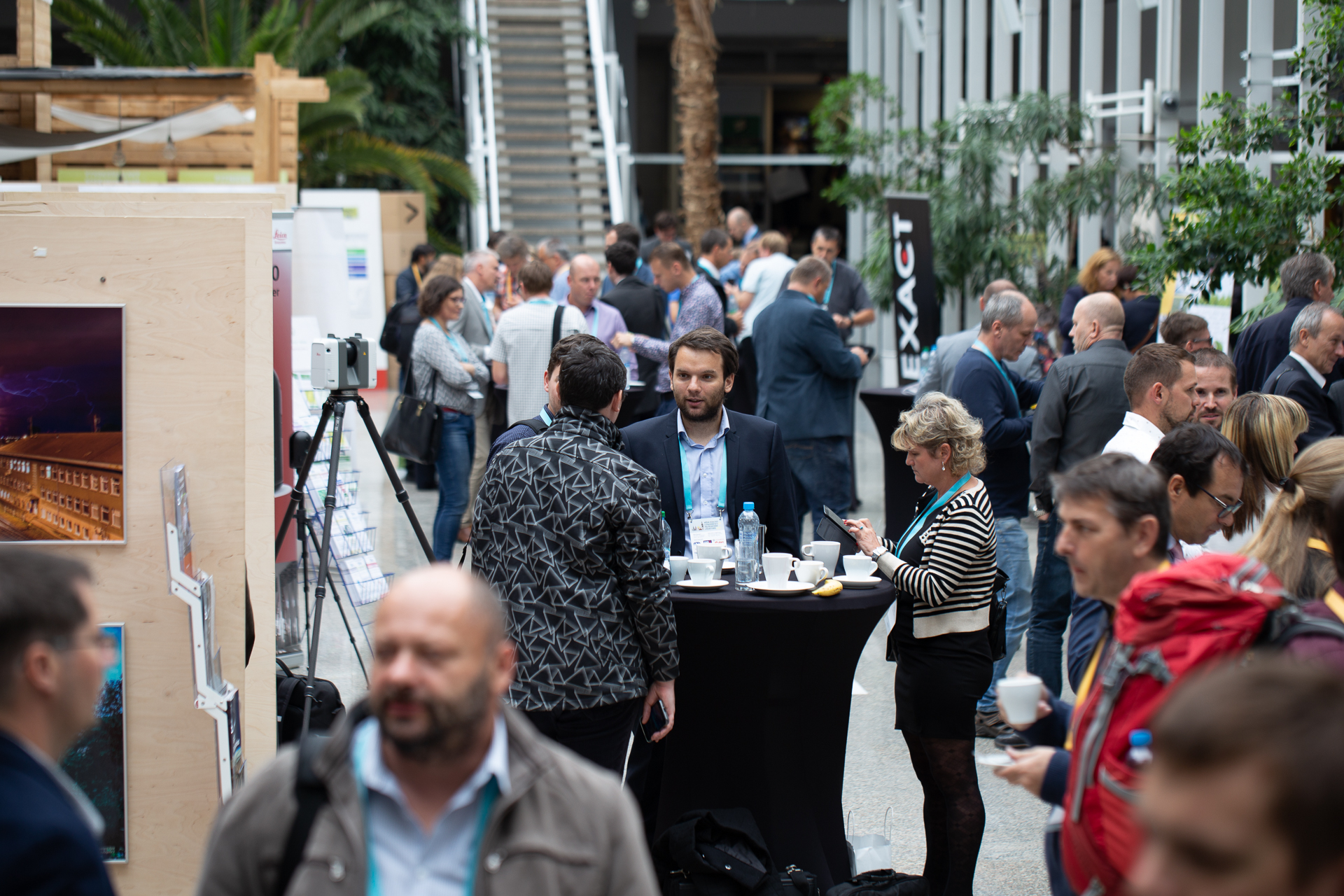
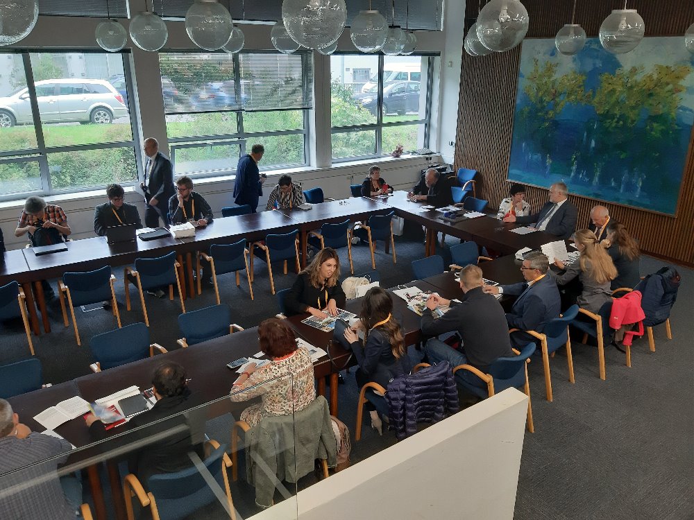
The MVPBIM2019 Conference, held in Prague (CZ) on 24th and 25th September 2019 gave an insight about what’s going on in the topic of digitalization of the built environment, from both the construction and management point of view.
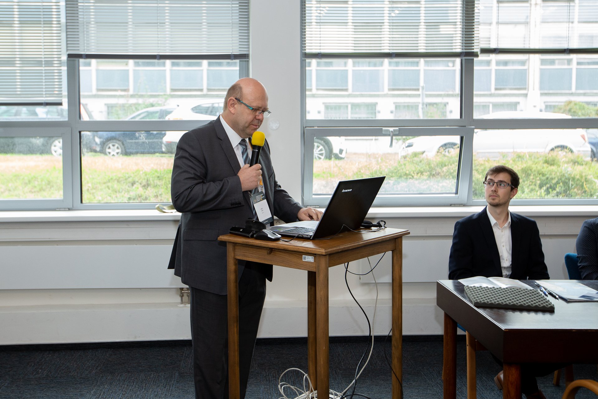
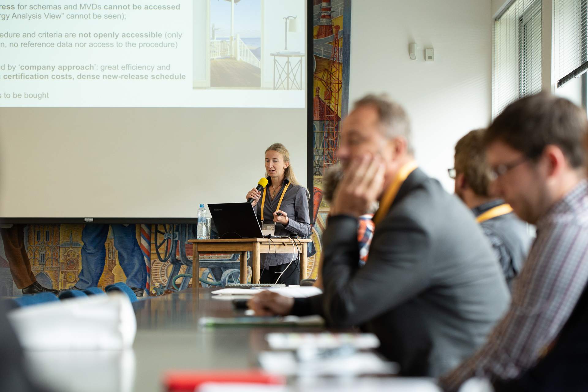
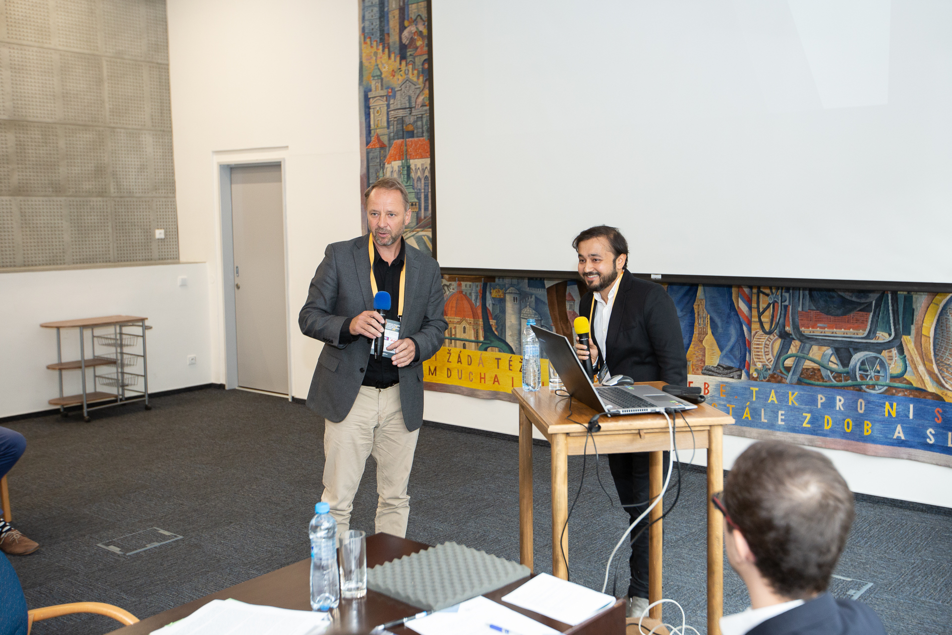
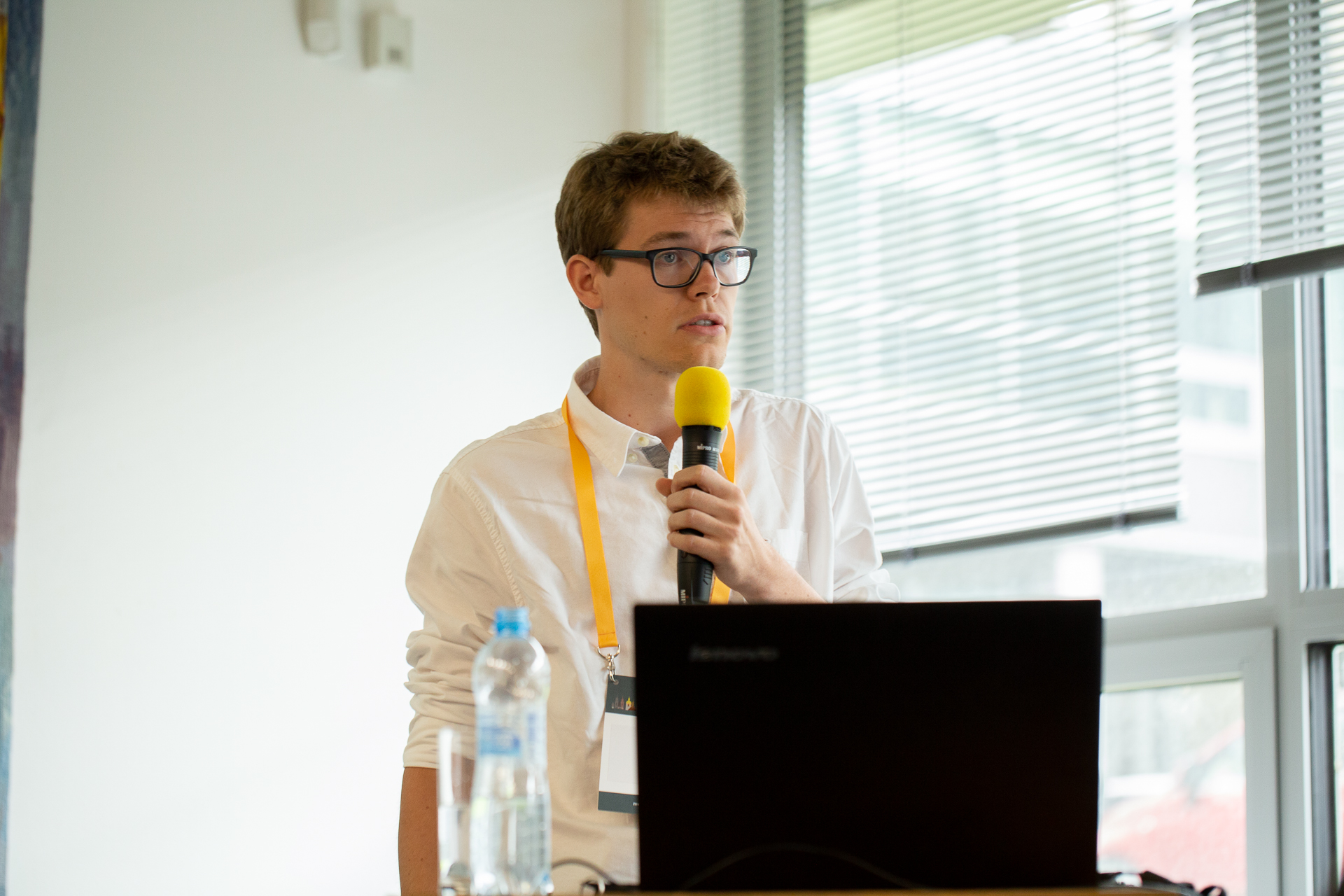
The keynote speakers presented a good overview about the state of art in the adoption and development of Building Information Modeling (BIM) and technical digital maps, especially in the Czech Republic.
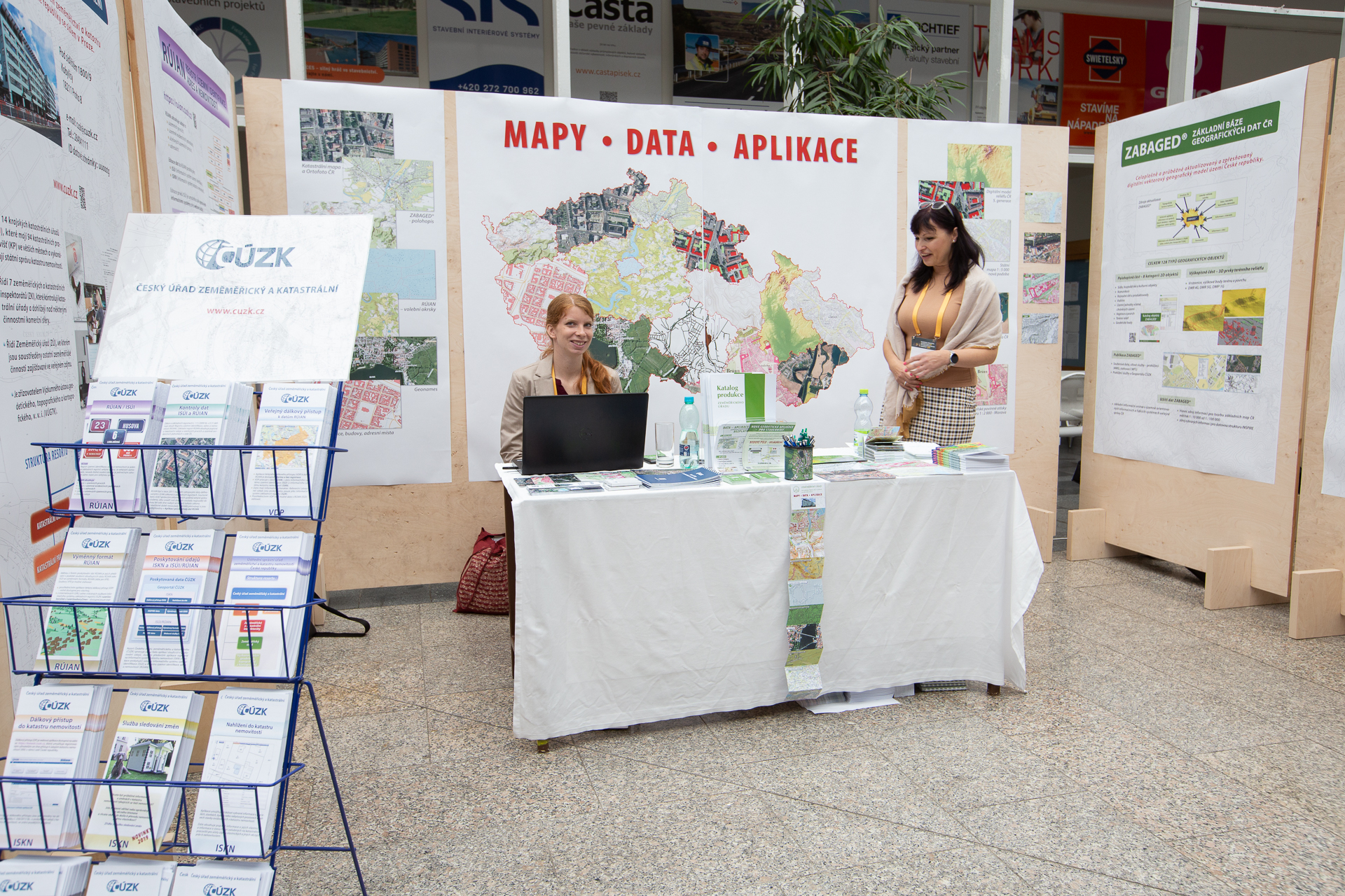
On the one hand the development of technical digital maps, associated to database information in a GIS was presented, together with specific problems linked to Czech Republic administrative organization (e.g. how the addresses are represented and stored). Moreover, a third dimension is considered.
On the other hand, Czech Republic is working towards a systematic adoption of BIM for construction projects, by establishing specific guidelines and encouraging designers to use it. Also, Czech Republic has adopted the European suggestion to make it mandatory by 2022 for the big and public projects. The use of BIM for checking building regulations is an on-going project. However, this is already a current (and effective) practice for some construction companies.
Finally, the connection between the two digital representations is also cared, and considerable work is being done for that aim.
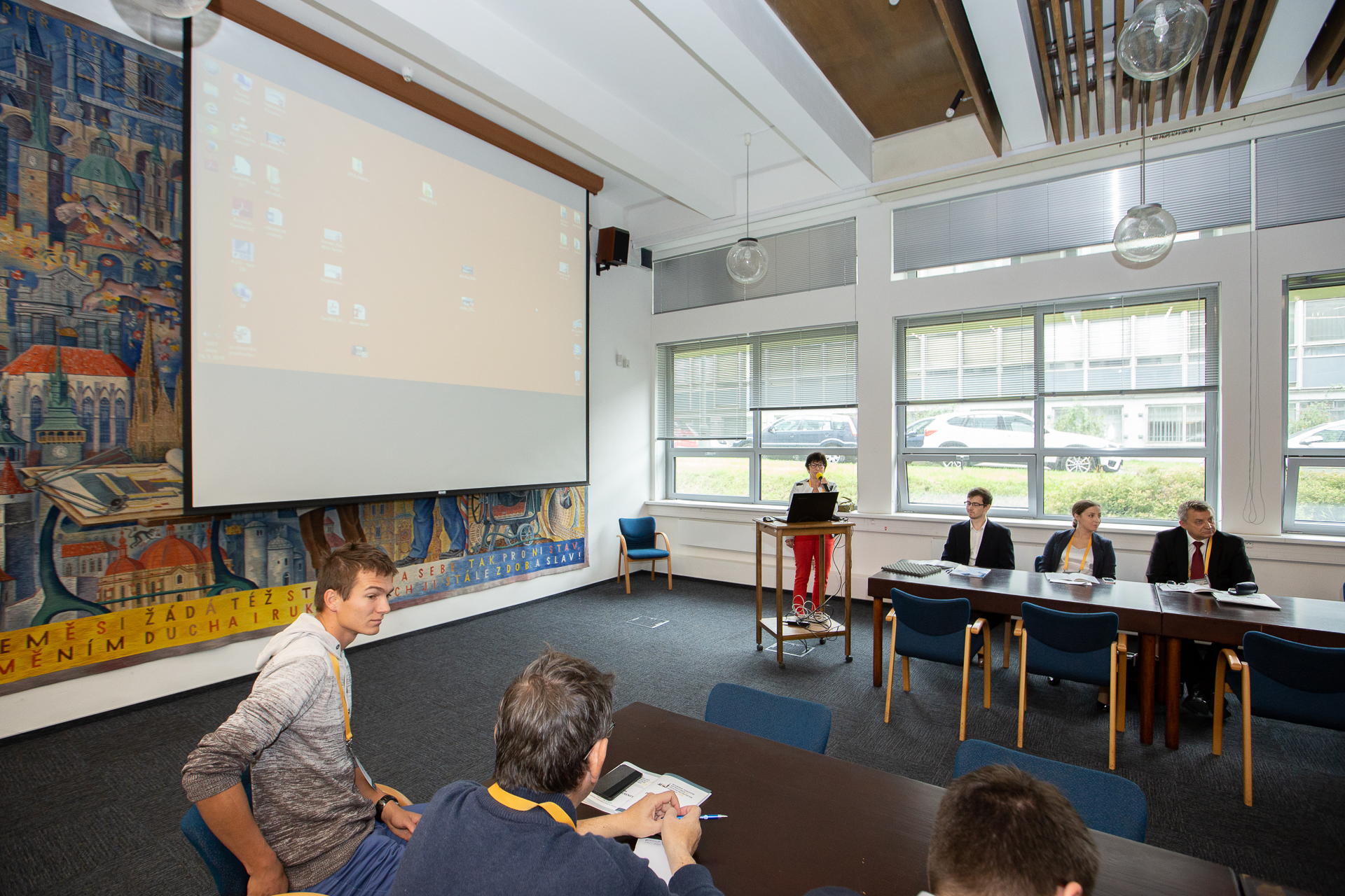
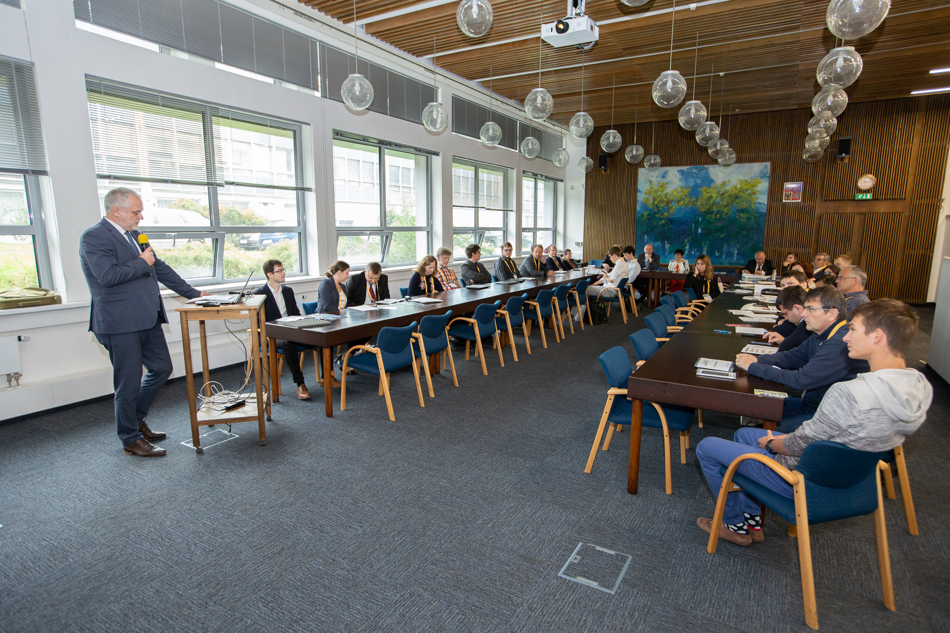
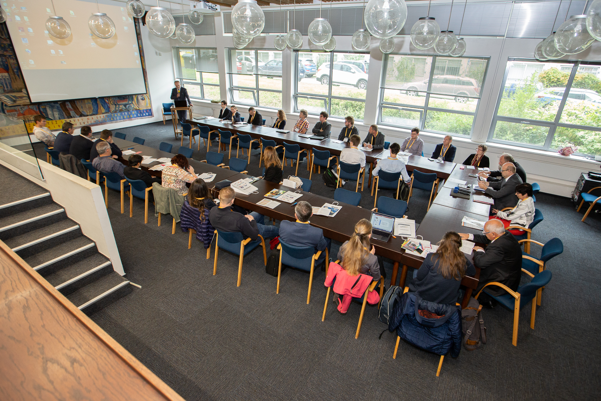
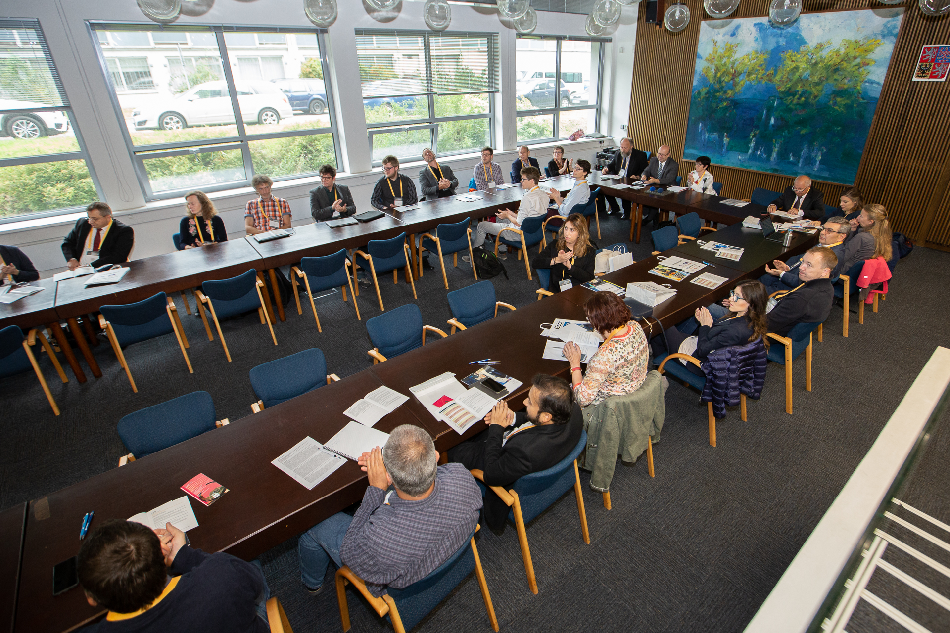
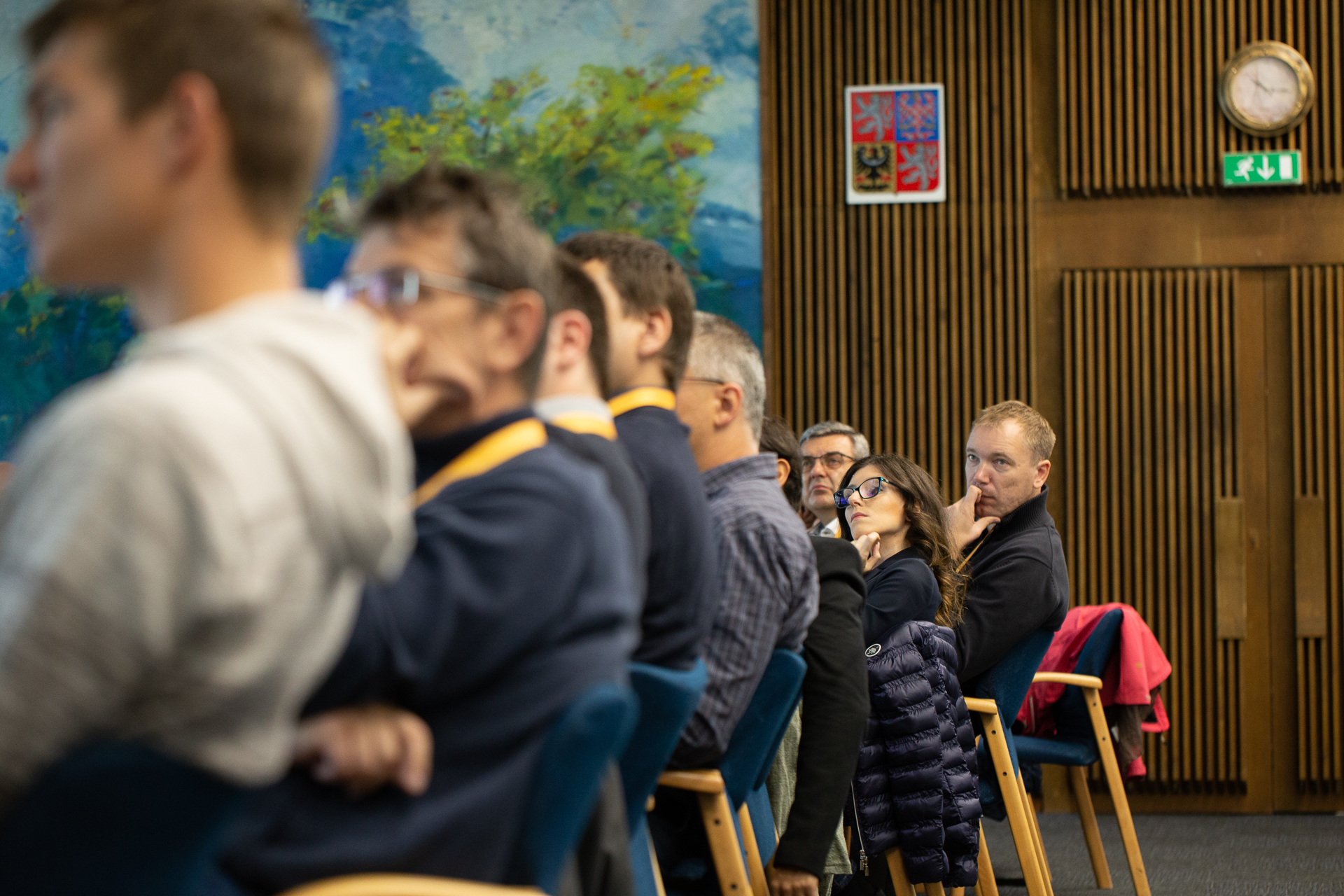
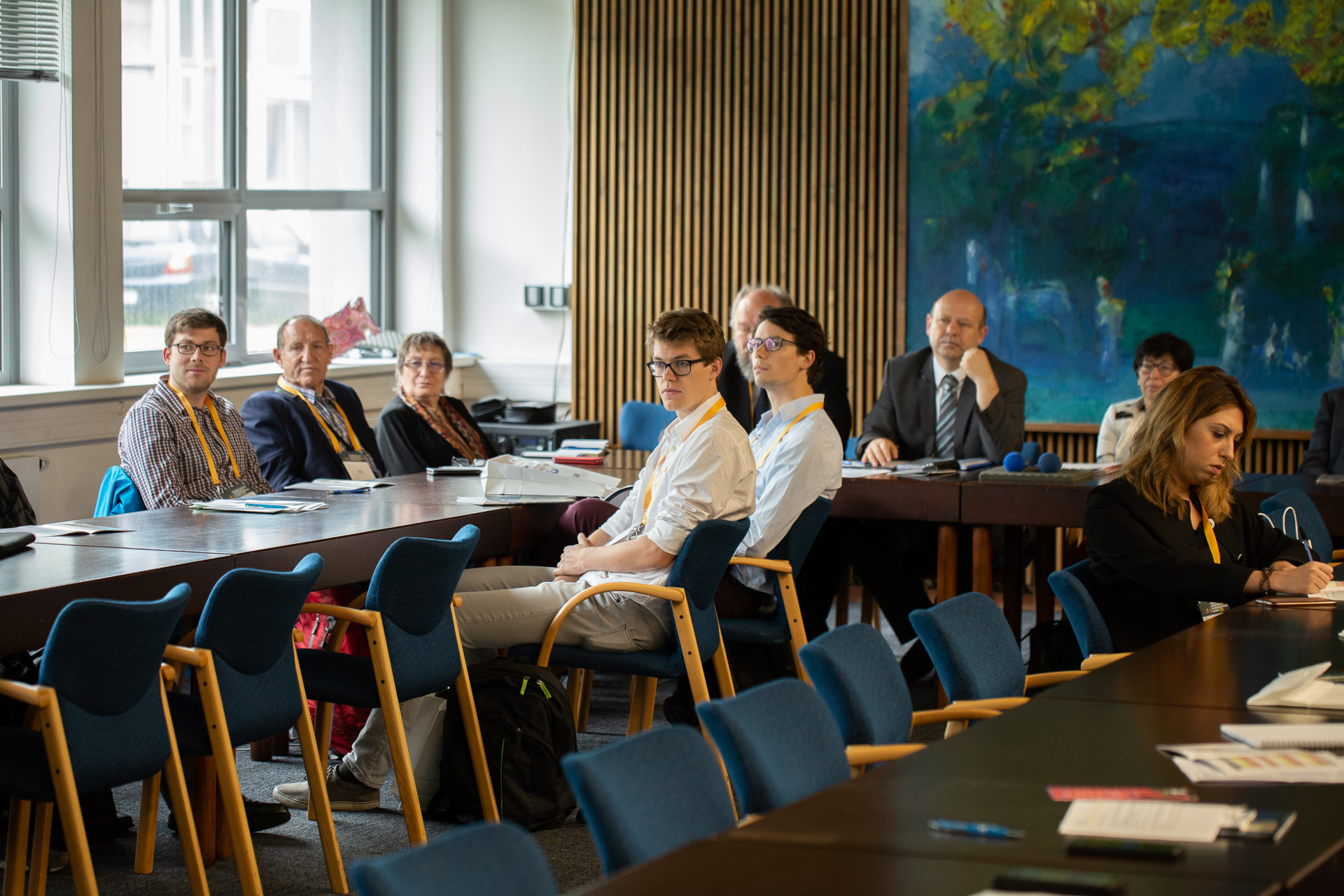
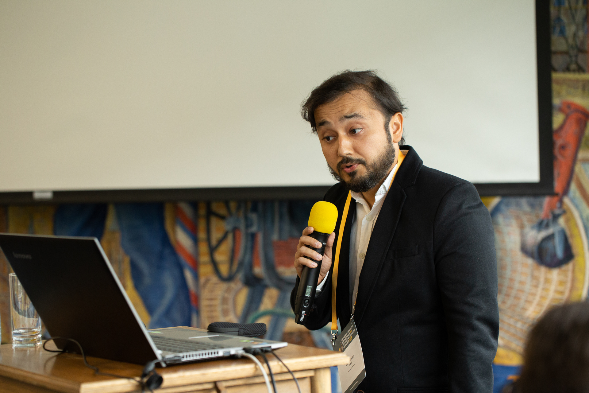
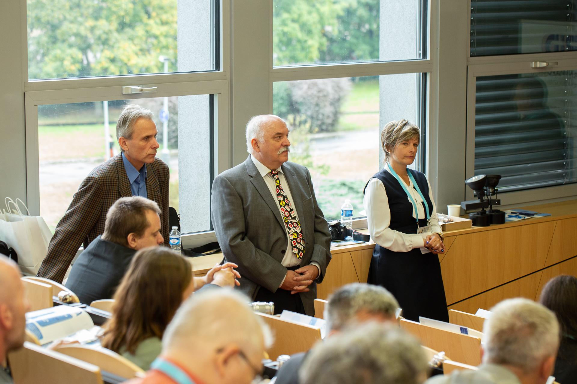
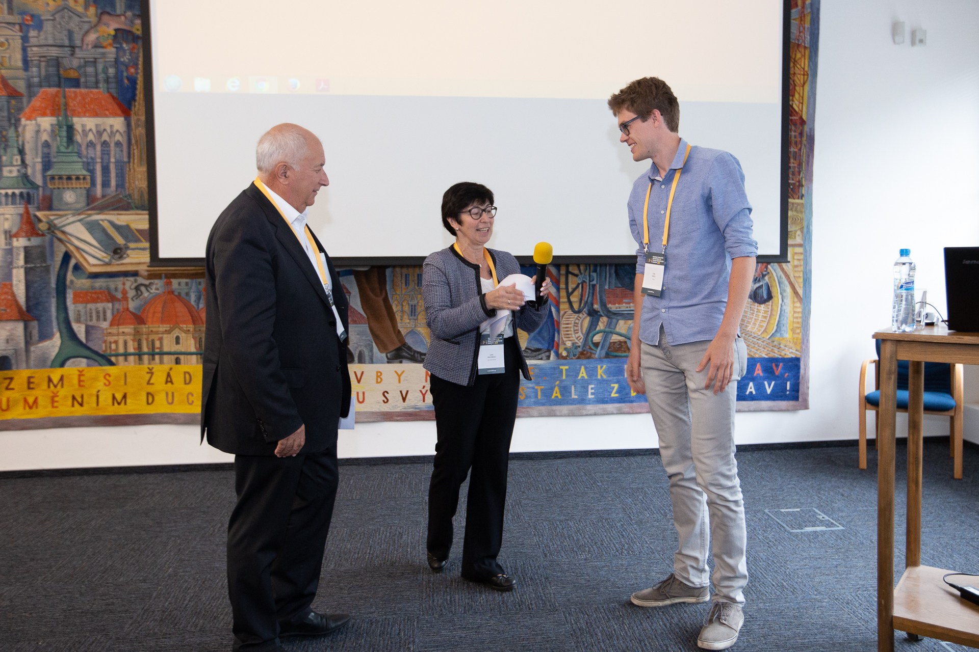
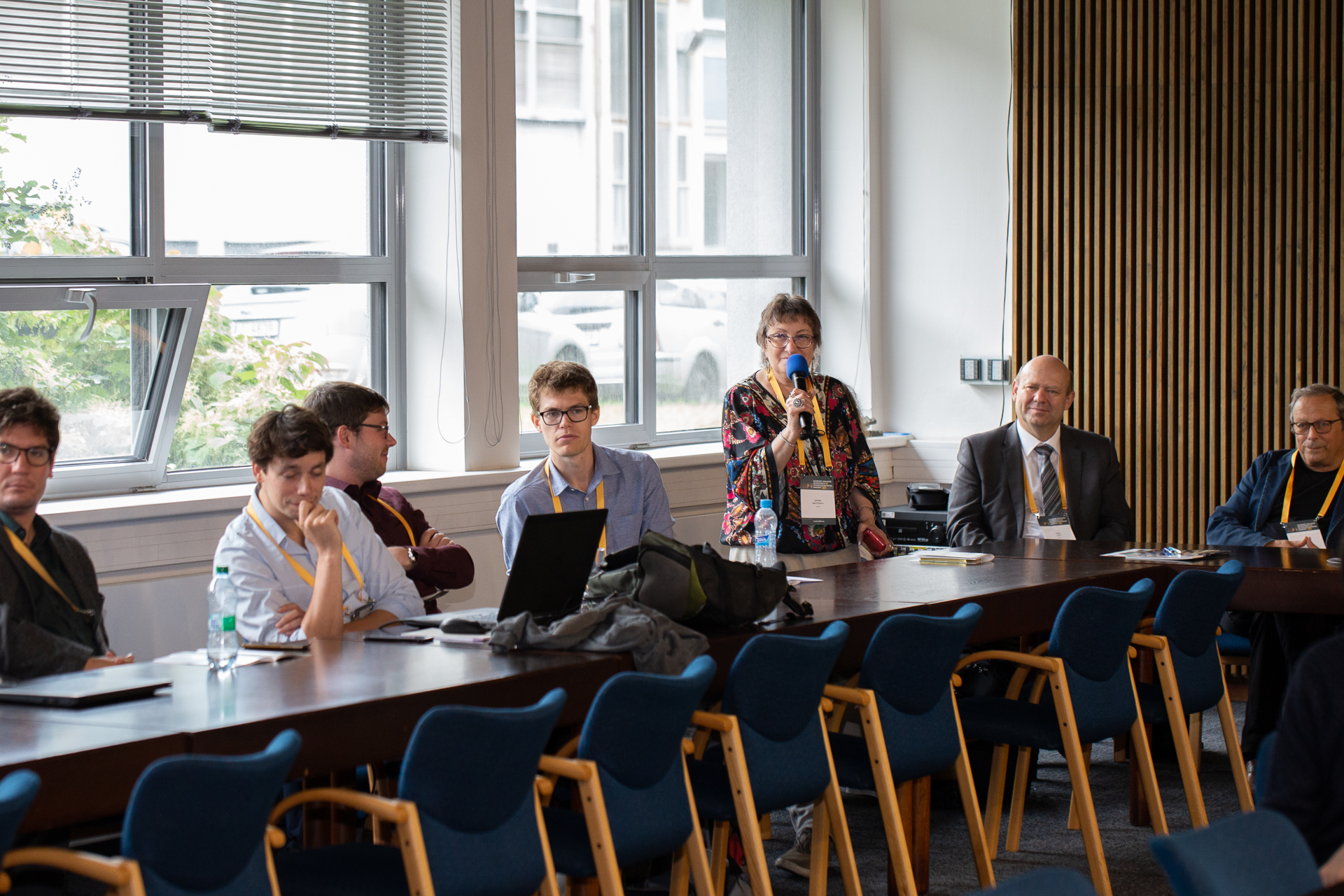
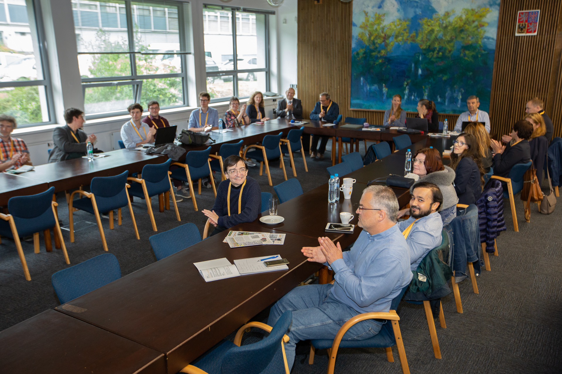
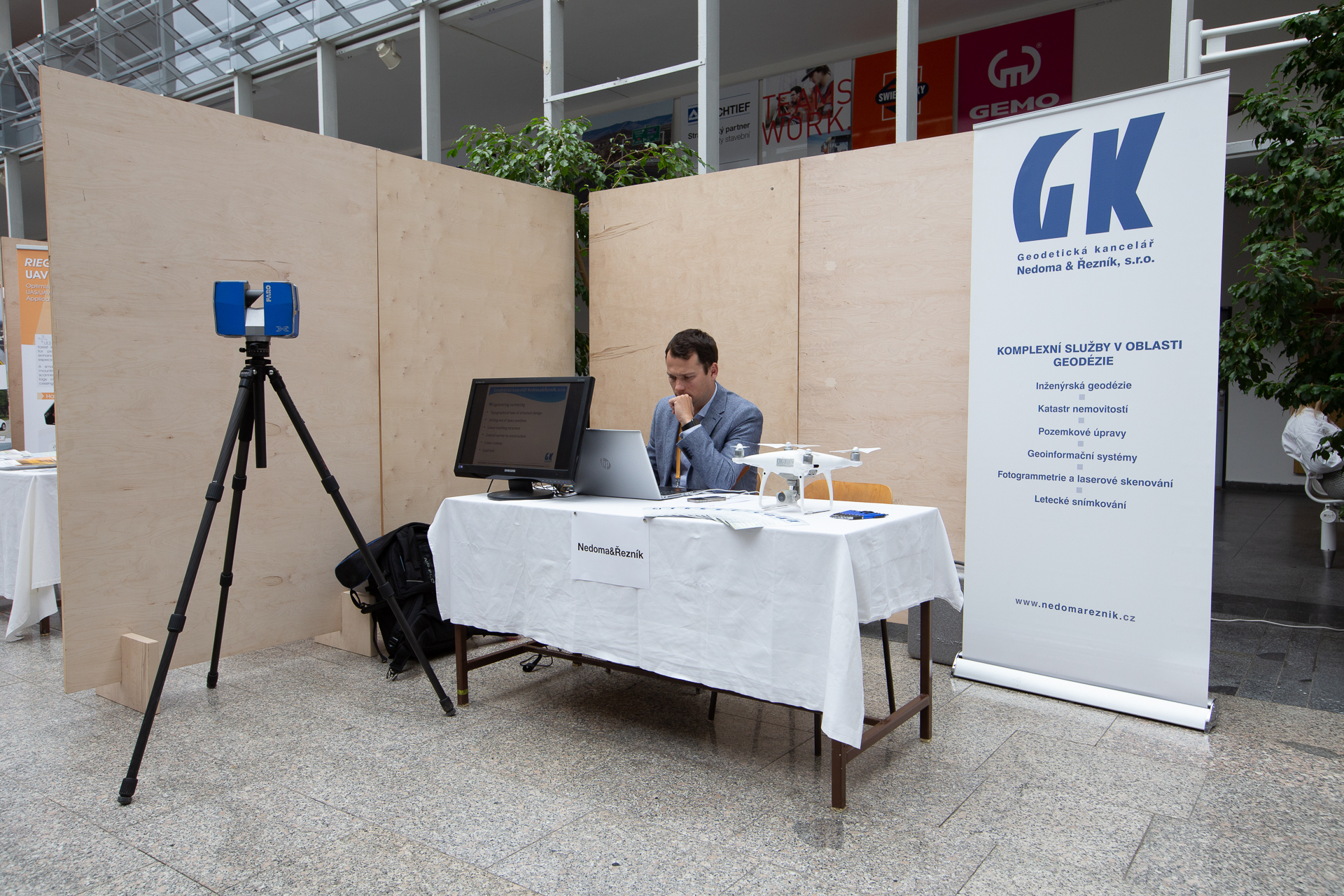
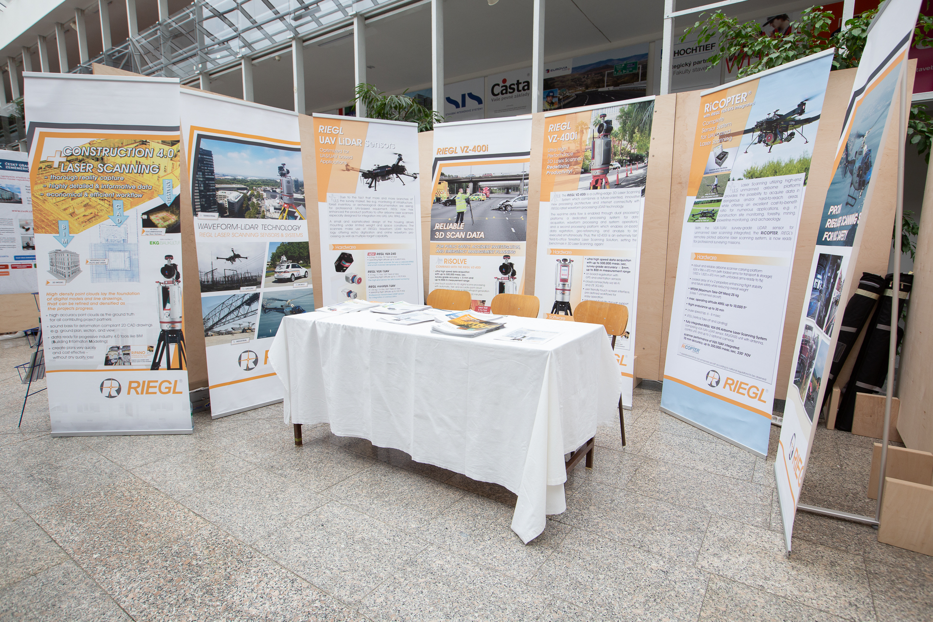
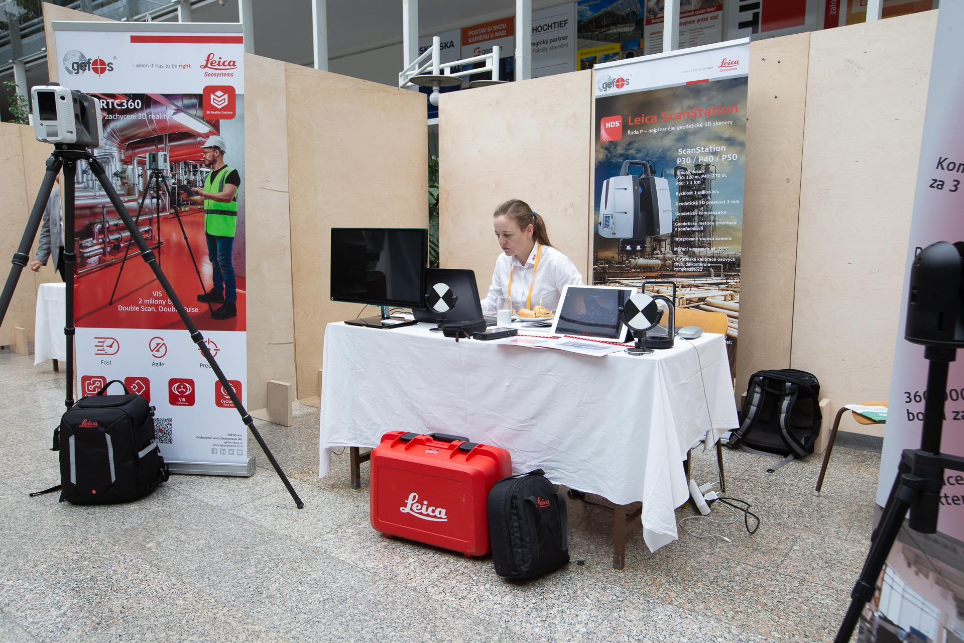
The participation of stakeholders from governmental institutions and companies showing the actual progresses in the development and use of such advanced solutions was very interesting.
Among the interesting contributions that were presented to the conference, some useful applications of BIM were presented, even for unusual constructions (e.g. water cisterns), where the BIM technology could help in assessing their structural behavior and identifying potential problems.
Moreover, specific topic of the conference was the use of dense survey results, obtained by means of advanced techniques and different kinds of acquisition sensors (including LiDAR, cameras and multispectral sensors), in order to model as-built BIM, update them or speed-up the geometrical reconstruction exploiting the features of the point clouds in various ways. This is useful for assessing the actual construction phases on-site and compare them to the designed BIM; to add useful information coming from survey to the as-built BIM (e.g. thermal information or mismatches between what was designed and what was built); and to support with very dense metric information the BIM modelers, in order to obtain a good reference when modelling as-built BIM and Historical BIM (HBIM).
The BIM geometries are actually seen as an effective solution to store such detailed information, both metric and qualitative. Moreover, the importance of visualizing such geometries was also pointed out, as supporting understanding, inspection and decision taking.
As a result of the conference, it was apparent that BIM is awarded to be a tool and a methodology with a lot of potential, as was already demonstrated in several works, and also the world of 3D advanced survey is giving a meaningful contribution to the advances in BIM (specifically as-built BIM).


